What is recorded here
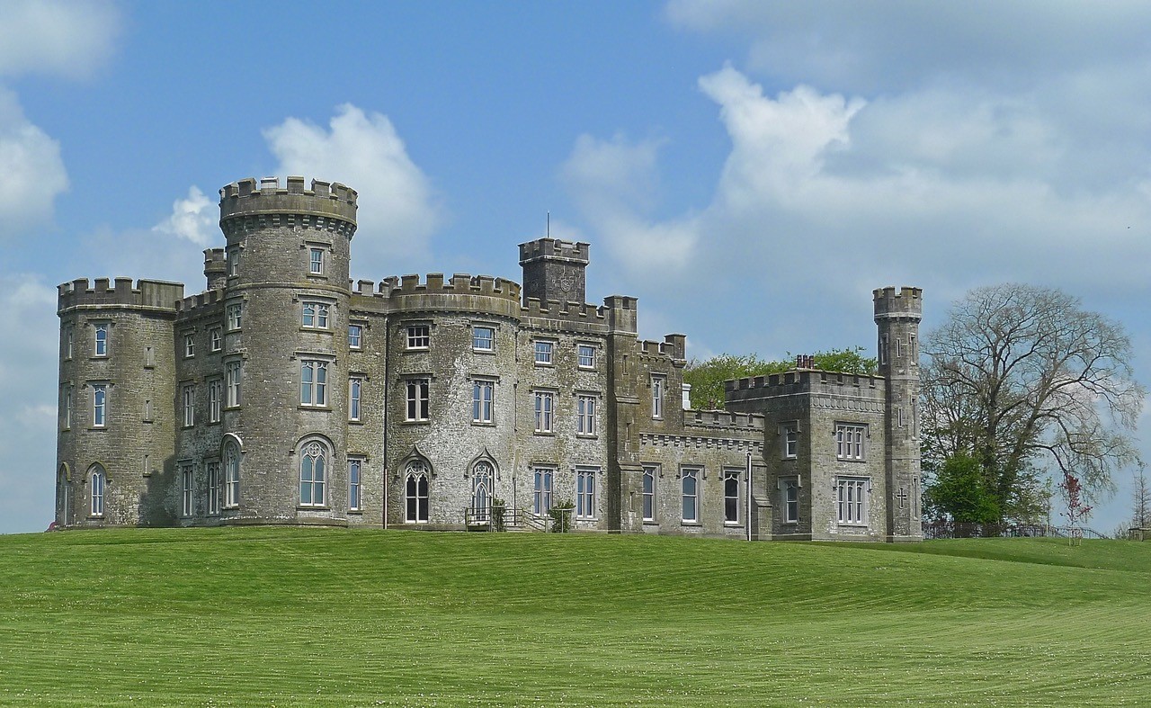
Situated on a low rise, in pasture, with good views in all directions. Depicted on the 1837 ed. OS 6-inch map as a rectangular structure aligned NNE-SSW annotated ‘Castle’. Levelled castle described in 1978 as only the grass-covered wall footings survive of a rectangular-shaped building (18m NE-SW; 8m NW-SE). Some large stones and boulders are visible in the remains of the walls (H 0.5-1m). There is a gap midway along the NW wall and a second gap at the SW end of the SE side. There is a small rectangular annex (dims. 8m NE-SW; 5m NW-SE) or tower projecting out mid-way along the SE side, this may have been a tower for a staircase to give access to a first floor level There is slight trace of a separate wall footing which runs parallel to the main structure, c. 3m to NW. There is no obvious trace of any surrounding earthworks. Old cultivation ridges running NE-SW are visible in the surrounding fields. The wall footing of a long, rectangular structure (dims. 10m N-S; 4m E-W) lies to SW of the main building, which may be the remains of some form a garden boundary feature. The slight remains of an annex (dims. 4m E-W; 3m N-S) adjoin the northern end. A low bank with the remains of a wall footing at S enclose a small area adjoining the W side of the structure.
The site does not resemble the remains of tower house and may be the remains of a 16th-17th century fortified T-plan house. No castle is depicted in this townland of on the 17th century Down Survey map of Mullingar parish (NLI, MS 723-4). In 1641 the lands of Brottonstown Little belonged to Alexander Hope who is listed as an 'Irish papist' (ibid.). Levelled castle is visible as the outline of a rectangular structure on Digital Globe aerial photography.
See attached sketch plan of levelled house.
Compiled by: Alison McQueen, Vera Rahilly and Caimin O’Brien
Date of upload: 11 February 2019
A local castle; wider significance not recorded.
The monument record does not grant public access. Check the route and ask the landowner before entering private land.
- What survives
- Recorded monument
Places near here
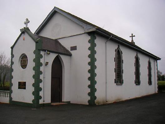 Catholic Church of the Little Flower and Our Lady of Good Counselchurch/chapel · 690 yd
 Cross in Tuitestown (moyashel & Magheradernon By.)Cross · 842 yd
 Fieldtown CastleCastle · 1031 yd
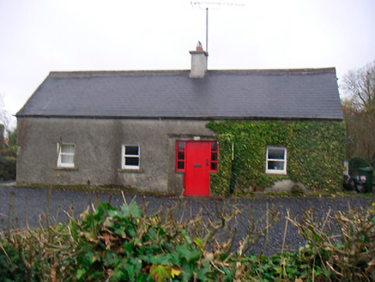 Bushmills Cottagehouse · 1477 yd
 Bawn in Tuitestown (moyashel & Magheradernon By.)Bawn · 1537 yd
 WestmeathVisitor information · 1663 yd
 Enclosure in ShanonaghEnclosure · 1.3 mi
 Ancient Ring FortWood · 1.9 mi
 Carrickphilbin IslandIslet · 4.1 mi
 Srudarra IslandIslet · 4.3 mi
 Hill of UisneachMountain / peak · 4.4 mi
 European ashEuropean ash · 5.3 mi
Other information
Photo: Credit not shown in the picture search · Rights wording not checked; contact us if this picture should be removed