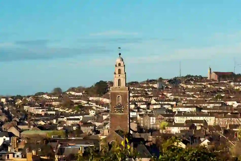
What is recorded here
In pasture, on gentle NNE-facing slope. Circular area (c. 42.5m NW-SE) defined by earthen bank (H 1.6m) NE->SE; low rise SE->NE. Bank incorporated into field fence system NE->SE. According to local information, row of stones along line of outer bank face and just below ground level was found during levelling of bank c. 1971.
The above description is derived from the published 'Archaeological Inventory of County Cork. Volume 1: West Cork' (Dublin: Stationery Office, 1992). In certain instances the entries have been revised and updated in the light of recent research.
Date of upload/revision: 14 January 2009
A local fairy fort (ringfort/rath); wider significance not recorded.
The monument record does not grant public access. Check the route and ask the landowner before entering private land.
- What survives
- Recorded monument
Places near here
 TobermoreHoly well · 742 yd
 CaveMan-made underground passage · 822 yd
 The GlenWood · 967 yd
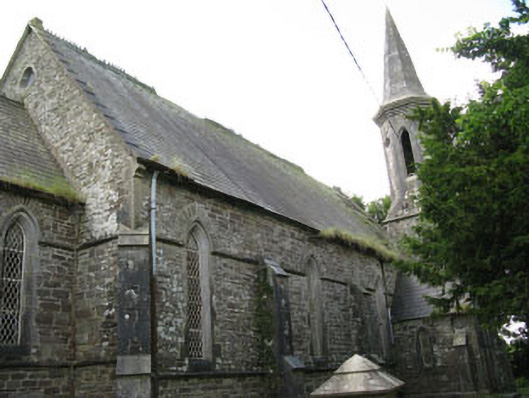 Saint Paul's Church (Ballymoney)church/chapel · 1009 yd
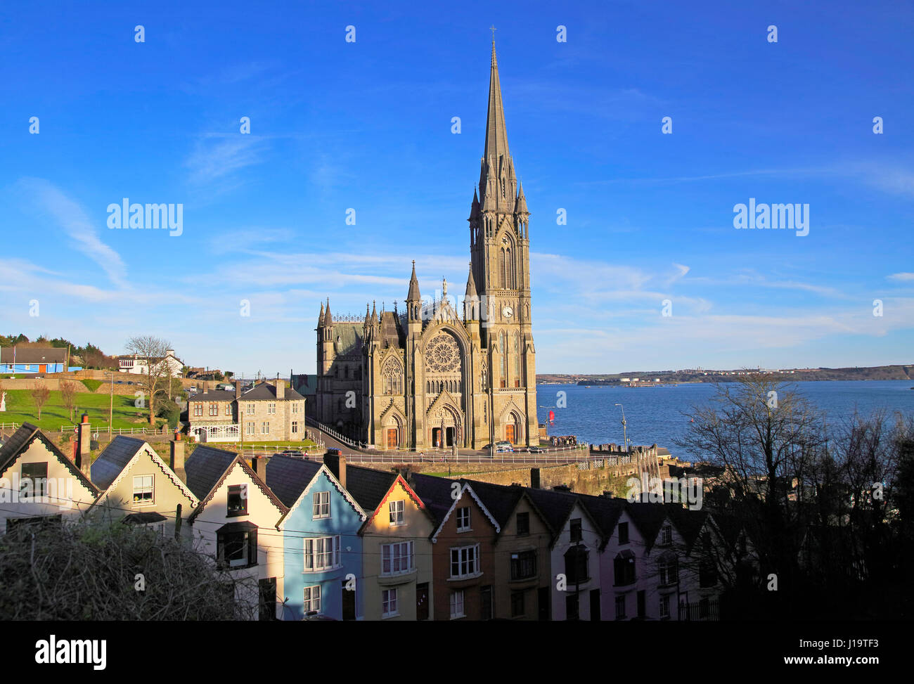 Church (in Ruins)Church · 1016 yd
 Corran HillMountain / peak · 1.4 mi
 Castle DerryCastle · 1.6 mi
 Irish National Forestry FoundationNature reserve · 2.2 mi
 Castle RockNamed rock · 3.2 mi
 Fahanacowley Castle (Site of)Castle, unclassified · 3.3 mi
 Tobar MacloonaboySpring · 3.9 mi
 Battle of the Big Cross (1798) Memorial MonumentMonument · 5.7 mi
Other information
Photo: Credit not shown in the picture search · Rights wording not checked; contact us if this picture should be removed