
What is recorded here
The Down Survey (1655-6) map shows a farm house roughly at the site of a small vernacular building of hearth-lobby type (pers. comm. Barry O'Reilly). Access to the interior is blocked. Located by the roadside on a right angle bend in a low-lying situation. Dwelling has been modernised with a new slate roof dotted with skylights and new render.
Compiled by: Geraldine Stout
Updated by: Christine Baker
Date of upload: 15 January 2015
The monument record does not grant public access. Check the route and ask the landowner before entering private land.
- What survives
- Recorded monument
Places near here
 Ring-ditch in KilmacreeRing-ditch · 314 yd
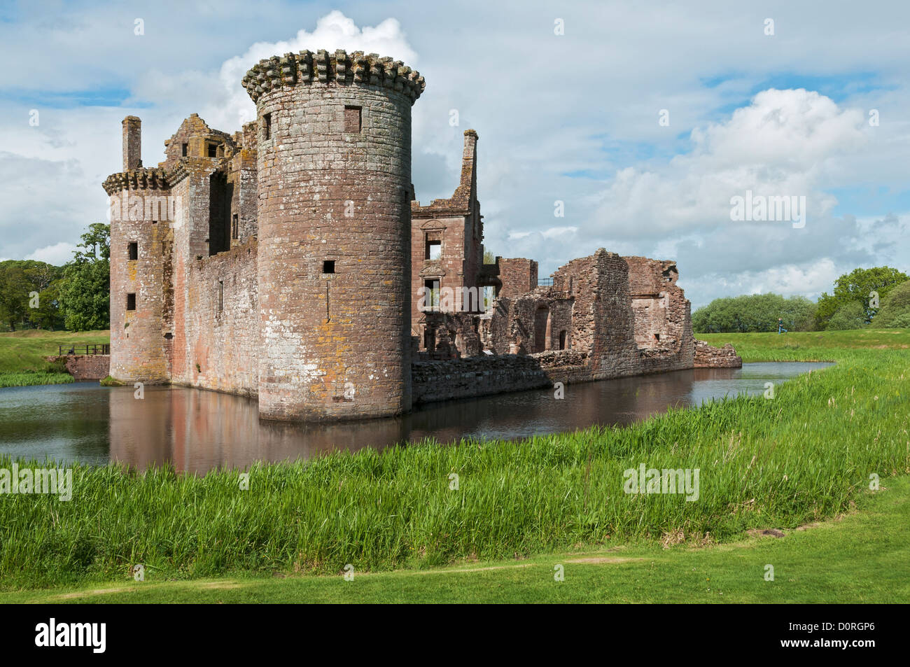 MoatMound · 328 yd
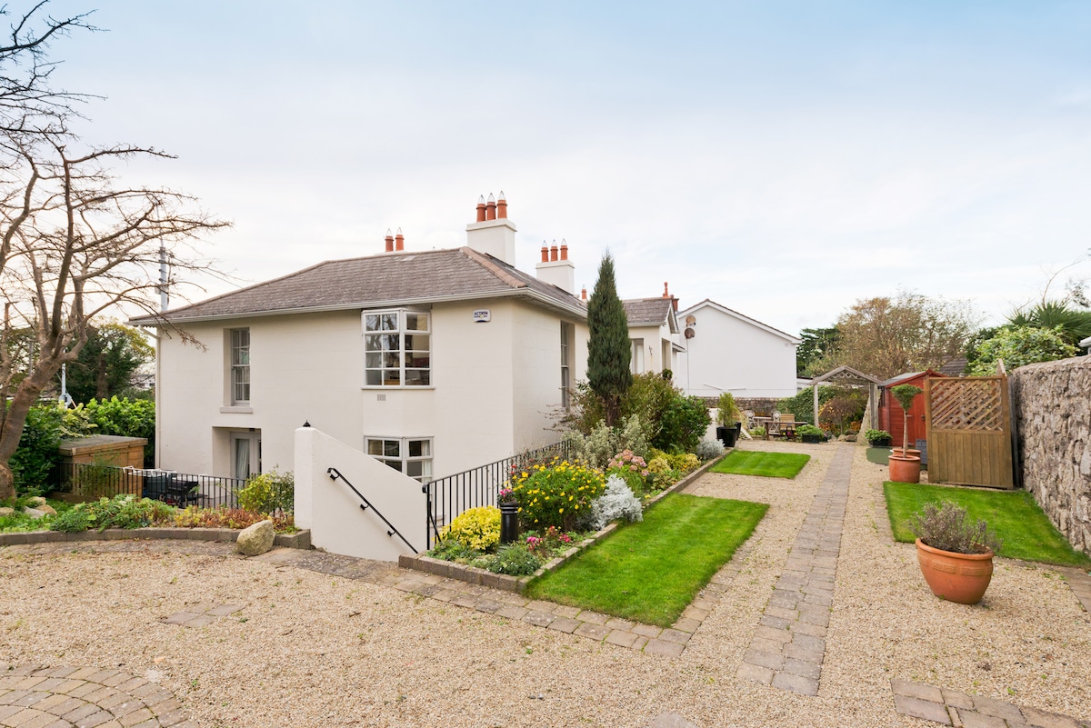 Kilresk House (in ruins)House, 16th/17th century · 790 yd
 Newpark HouseHouse, 18th/19th century · 1169 yd
 CastleCastle, unclassified · 1.2 mi
 Freedagh MoatCastle, motte · 1.2 mi
 Horizon Logistics ParkVisitor information · 1.9 mi
 The MoundViewpoint · 3.1 mi
 Graveyard in KillosseryGraveyard · 3.1 mi
 The JackoWood · 3.2 mi
 St Cronans WellSpring · 3.2 mi
 Kim Archibold MemorialMemorial · 3.2 mi
Other information
Photo: Credit not shown in the picture search · Rights wording not checked; contact us if this picture should be removed