
What is recorded here
From the National Monuments Service (Archaeological Survey of Ireland) record MO017-076
Places near here
Photo credits
- National Inventory of Architectural Heritage
- Kenneth Allen, Geograph · CC BY-SA 2.0
- Sitomon, Wikimedia Commons · CC BY-SA 2.0
- Maker not stated on source page, www.pinterest.com
- Maker not stated on source page, www.alamy.com
- Maker not stated on source page, www.flickr.com
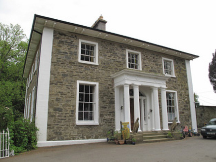 Scarvy HouseCountry house · 364 yd
Explorer Tom Scarvy House is standing on a hill like it’s auditioning for a period drama lead role. The portico and pilasters are…
 Standing stone in ScarvyStanding stone · 678 yd
Explorer Tom Standing stone in Scarvy is hiding a treasure chest that definitely contains only a biscuit tin and some old newspapers…
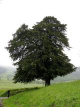 European Yew834 yd
Explorer Tom European Yew in County Monaghan was planted because two lads made a bet in the pub that it would outlive their bad…
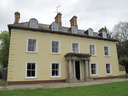 Ferney HouseCountry house · 1317 yd
Explorer Tom Ferney House in Clonkeen (Lucas) claims it’s older than the hills, which is rich considering the chimneys look fresh.…
 Fairy fort / earthen ringfort in DunsearkFairy fort / earthen ringfort · 1388 yd
Explorer Tom Fairy fort / earthen ringfort in Dunseark claims smugglers used its gap to hide barrels of whiskey from the tax…
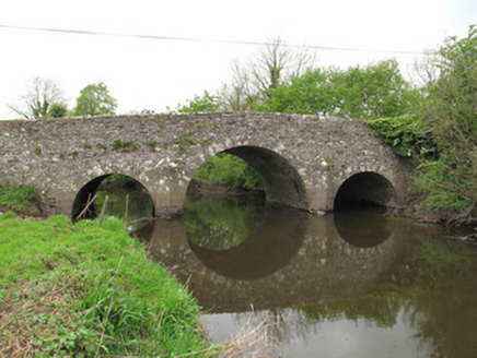 Scarvy BridgeBridge · 1414 yd
Explorer Tom Scarvy Bridge in Clontreat is humpbacked like a turtle that’s been carrying rocks on its shell for two hundred years.…
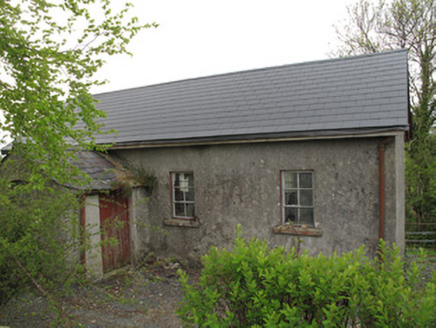 Ture National SchoolSchool · 1419 yd
Explorer Tom Ture National School was designed by a mother-in-law who liked chamfered corners for safety. It sits next to the…
 Mapped graveyardGraveyard · 1444 yd
Explorer Tom this Mapped graveyard in County Monaghan would write on its dating profile that it is 'stable, has deep roots, and…
 Saint Mary's Catholic ChurchChurch/chapel · 1450 yd
Explorer Tom Saint Mary’s Catholic Church in Aghnamard has a stone tower that stands out like a sore thumb against the rendered…
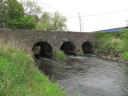 Cumber BridgeBridge · 1490 yd
Explorer Tom Cumber Bridge would teach history by just standing there and letting you figure out why it has extra arches. Those…
 Clones Presbyterian Burial GroundMonument · 1660 yd
Explorer Tom Clones Presbyterian Burial Ground would bring a simple monument to any party, because it knows it’s the only one that…
 Clones Presbyterian CemeteryCemetery · 1674 yd
Explorer Tom Clones Presbyterian Cemetery would tell Saint Patrick that he left too much work for the rest of us to finish. It’s got…
More archaeology and monuments in County Monaghan · All of County Monaghan

What do you know about this place?Tap to add a comment or ask a question