
What is recorded here
In pasture, on N-facing slope. Oval area (82m N-S; 104m E-W) enclosed by earthen bank (H c. 1m) forming field boundary fences in places; stream runs outside bank SW->N. Low traces of inner bank with intervening fosse (D c.1m) SW->N. Interior level.
The above description is derived from the published 'Archaeological Inventory of County Cork. Volume 2: East and South Cork' (Dublin: Stationery Office, 1994). In certain instances the entries have been revised and updated in the light of recent research.
Date of upload/revision: 14 January 2009
A local fairy fort (ringfort/rath); wider significance not recorded.
The monument record does not grant public access. Check the route and ask the landowner before entering private land.
- What survives
- Recorded monument
Places near here
 Kill Burial Ground (Disused)Burial ground · 1035 yd
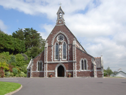 Catholic Church of Sacred HeartChurch · 1601 yd
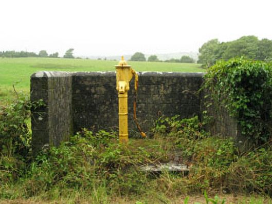 water pumpwater pump · 1649 yd
 Sunday's WellSpring · 1.0 mi
 Fulacht fia in FahanalooscaneFulacht fia · 1.2 mi
 Dooneen WoodsWood · 2.4 mi
 Ballintubber WoodWood · 2.4 mi
 Dinny Barry MemorialMemorial · 2.8 mi
 Bi-Centenary of 1798Memorial · 3.2 mi
 St Laitiarain's WellSpring · 3.5 mi
 Rumley's Open FarmHeritage attraction · 3.7 mi
 Cullen Castle (Site of)Castle, unclassified · 3.8 mi
Other information
Photo: Credit not shown in the picture search · Rights wording not checked; contact us if this picture should be removed