
What is recorded here
Situated on level ground overlooking a very gentle N-facing slope. Circular area (diam. 31m) defined by an earth and stone bank (Wth 1.7-3.7m; int. H 0.4m; ext. H 0.7-1.1m) with a discontinuous revetment of small boulders surviving to three courses on the outer face at the N. No indication of an external fosse or internal features. The entrance (Wth 1.5m) is at the SE; the second gap at the SW is probably modern. The 1838 OS 6-inch map shows an outer enclosure (diam. c. 55m) which is not visible at ground level.
The above description is derived from the published 'Archaeological Inventory of County Wicklow' (Dublin: Stationery Office, 1997). In certain instances the entries have been revised and updated in the light of recent research.
Date of upload/revision: 17 December 2008
A local fairy fort (ringfort/rath); wider significance not recorded.
The monument record does not grant public access. Check the route and ask the landowner before entering private land.
- What survives
- Recorded monument
Places near here
 Dwyer-McAllister Cottagefarm house · 772 yd
 Dwyer McAllister CottageMuseum · 773 yd
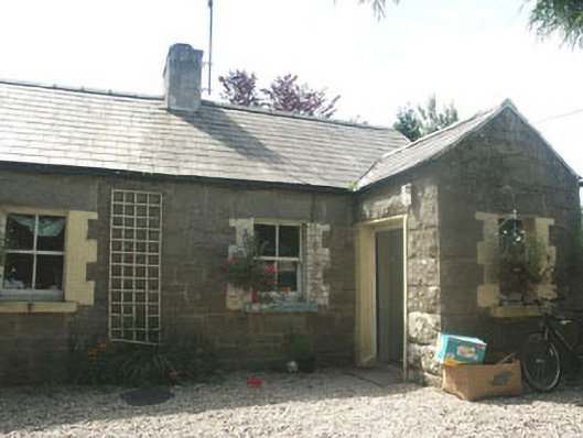 Parnell Cottageworker's house · 1007 yd
 Michael Dwyer MemorialMemorial · 1.2 mi
 Keadeen MountainMountain / peak · 1.4 mi
 Seskin Ho. in ruinsHouse, fortified house · 1.4 mi
 SlievereaghMountain / peak · 1.6 mi
 Artillery MemorialMemorial · 1.7 mi
 Enclosure in BallyreaskEnclosure · 1.9 mi
 Font in LeitrimFont · 1.9 mi
 Castle in ruinsCastle, unclassified · 1.9 mi
 Saint Brigit's ChairNamed rock · 2.7 mi
Other information
Photo: Credit not shown in the picture search · Rights wording not checked; contact us if this picture should be removed