What is recorded here
Marked as irregular enclosure on 1841 OS 6-inch map, and situated on a S-facing slope. Bank incorporated into field fence SE-W (diam. c. 30m). An entrance at S, probably modern, is now blocked.
From the National Monuments Service (Archaeological Survey of Ireland) record WX014-006
The monument record does not grant public access. Check the route and ask the landowner before entering private land.
- What survives
- Recorded monument
Places near here
Photo credits
- National Inventory of Architectural Heritage
- Sarah777, Wikimedia Commons · Public domain
- Algirdas at Lithuanian Wikipedia, Wikimedia Commons · Public domain
- No machine-readable author provided. Voyager assumed (based on copyright claims)., Wikimedia Commons · CC BY-SA 3.0
- Lukemcurley at English Wikipedia, Wikimedia Commons · Public domain
- Sciadopitys from UK, Wikimedia Commons · CC BY-SA 2.0
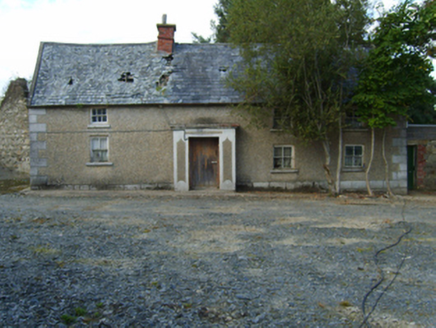 farm house1244 yd
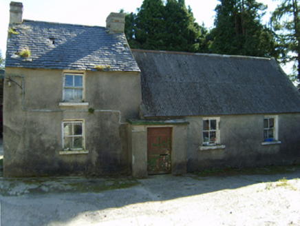 farm house1713 ydEcclesiastical enclosure in Bola BegEcclesiastical enclosure · 1.1 miIndicatedEnclosure · 1.4 mi
 Black Rock MountainMountain / peak · 2.2 mi
 Pedunculate Oak2.7 miSite of Clonmullen CastleCastle, unclassified · 3.3 miSt Bridget's WellSpring · 3.7 mi
 Mount LeinsterMountain · 3.9 miRyland Castle (in ruins)Castle, unclassified · 3.9 mi
 Mount LeinsterMountain / peak · 4.0 mi
 European Larch4.3 mi
More archaeology and monuments in County Wexford · All of County Wexford
What do you know about this place?