
What is recorded here
Quarrying stripped its stones around 1900 and later removal erased the last wall, leaving only a lowered ground where the castle stood. Sir Morgan Kavanagh owned the place in the early 17th century before Lord Annesley took it during the Cromwellian period, yet even that much has become hard to picture. The River Slaney still flows nearby, carrying past the spot where human hands built, broke and forgot a castle.
Situated on a rise on the SW bank of the NW-SE River Slaney, with the stream c. 250m to the E and Clohamon castle (WX009-005----) on the other side c. 400m distant. Ryland Castle was owned by Sir Morgan Kavanagh in the early 17th century, and it was acquired by Lord Annesley during the Cromwellian period (Hore 1901-11, vol. 6, 115; Jeffrey 1979, 233-4). It was described by Hore (1901-11, 115) and Lewis (1837, vol. 2, 437) as a gatehouse with a portcullis and hinge stones, possibly confused with the gatehouse at Borris moated site (WX010-002001-) c. 4.3km to the NE. J. O'Donovan writing c. 1840 described it as a wall 'twenty paces in length, about fifteen in height and six feet six inches in thickness' (O'Flanagan 1933, vol. 1, 244). It was damaged by quarrying c. 1900 (Ffrench 1901) and finally removed c. 1980 at which time only one wall with no recorded features survived, but no trace of it remains now in an area where the ground level has been lowered considerably.
See the attached section from the Down Survey barony map (N at top right) reproduced courtesy of the National Library of Ireland (Ms 725)
The above description is derived from the published 'Archaeological Inventory of County Wexford' (Dublin: Stationery Office, 1996). In certain instances the entries have been revised and updated in the light of recent research.
Compiled by: Michael Moore
Date of upload/revision: 5 April, 2012
Ryland Castle was held by Sir Morgan Kavanagh in the early 17th century and is remembered for its strategic position near the River Slaney and its proximity to other local castles, reflecting the defensive and landholding patterns of the period.
The monument record does not grant public access. Check the route and ask the landowner before entering private land.
- What survives
- Recorded monument
Places near here
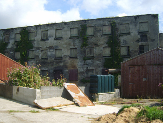 mill (water)mill (water) · 344 yd
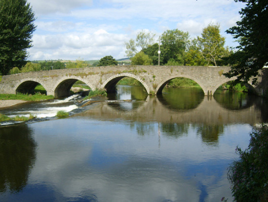 Clohamon Bridgebridge · 474 yd
 Clohamon Castle (in ruins)Castle, unclassified · 489 yd
 IndicatedHoly well · 1103 yd
 Bunclody 1798 Bicentenary MemorialMemorial · 1.7 mi
 1798 rebellion Battle of Newtownbarry (AKA Bunclody) commemorative plaqueMemorial · 1.7 mi
 Common LimeCommon Lime · 1.7 mi
 European YewEuropean Yew · 1.8 mi
 Site of Clonmullen CastleCastle, unclassified · 2.0 mi
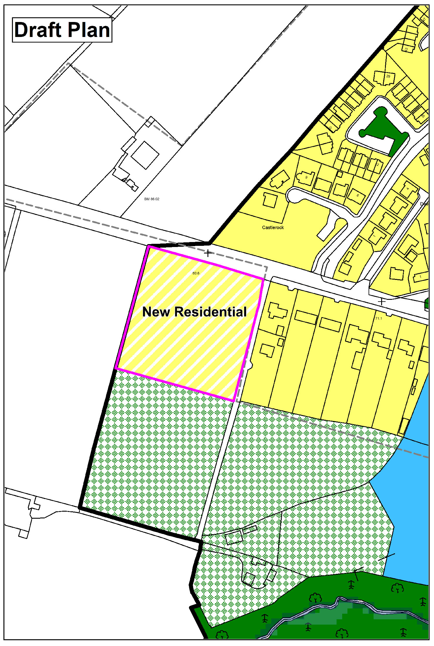 Enclosure in CarrickduffEnclosure · 2.2 mi
 Gibbet HillMountain / peak · 2.9 mi
 John's HillMountain / peak · 3.4 mi
Other information
Photo: Credit not shown in the picture search · Rights wording not checked; contact us if this picture should be removed