What is recorded here
The following description is derived from the published 'Archaeological Inventory of County Carlow' (Dublin: Stationery Office, 1993). In certain instances the entries have been revised and updated in the light of recent research.
Date of upload/revision: 17 July 2007
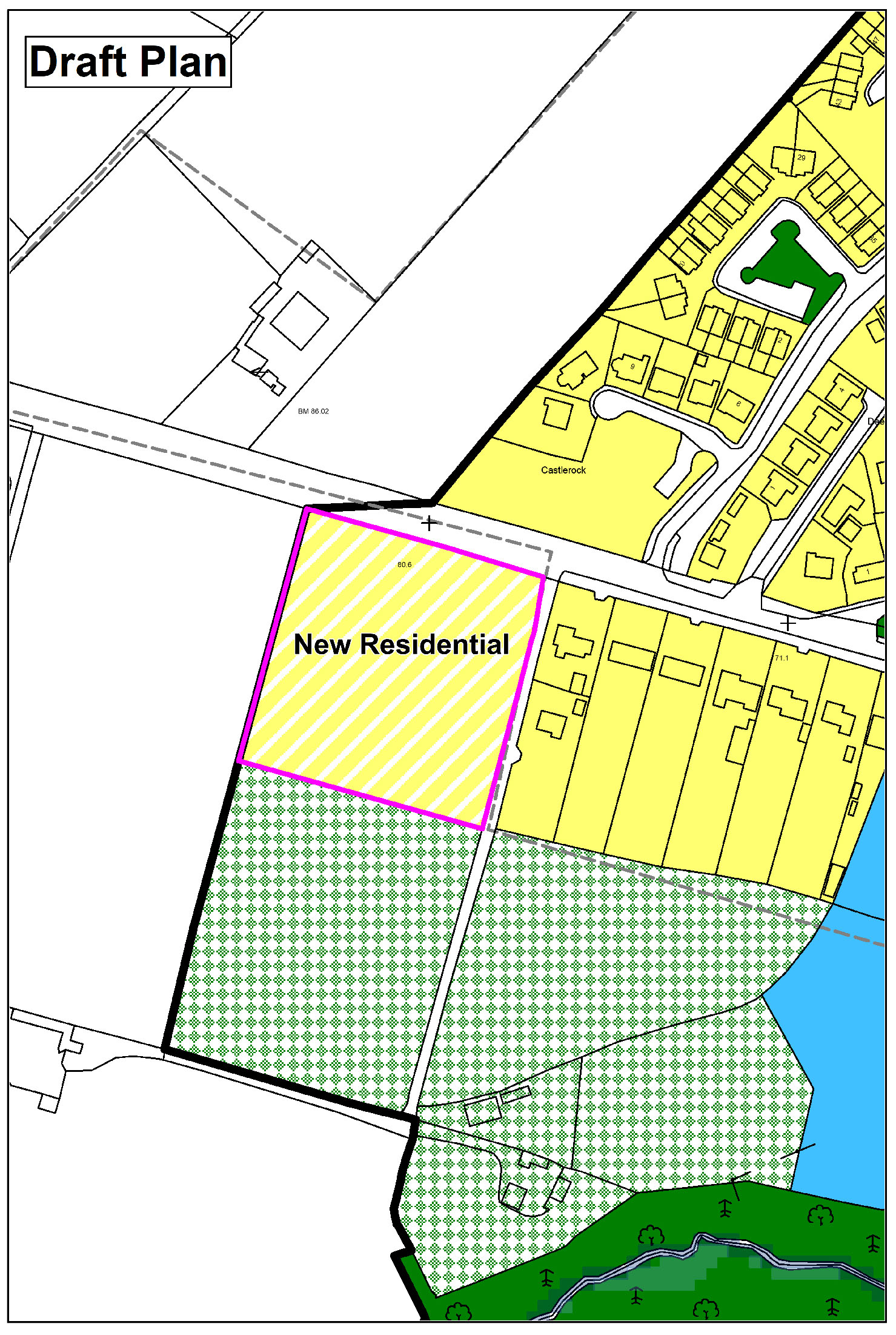
Very distinct curve in field boundary marking E-S-W edge of possibly originally circular monument (max. diam. c. 50m), or landscape feature connected with Carrickduff Castle (CW021-002----).
A local fairy fort (ringfort/rath); wider significance not recorded.
The monument record does not grant public access. Check the route and ask the landowner before entering private land.
- What survives
- Recorded monument
Places near here
 Carrickduff WoodWood · 601 yd
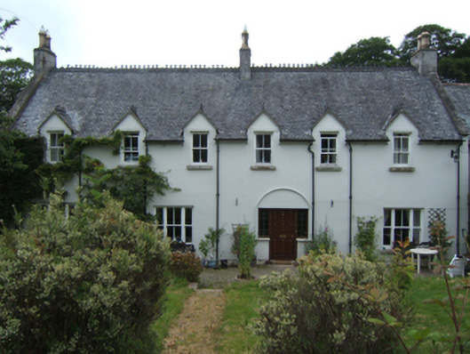 Mill Housefarm house · 927 yd
 Site of Clonmullen CastleCastle, unclassified · 1067 yd
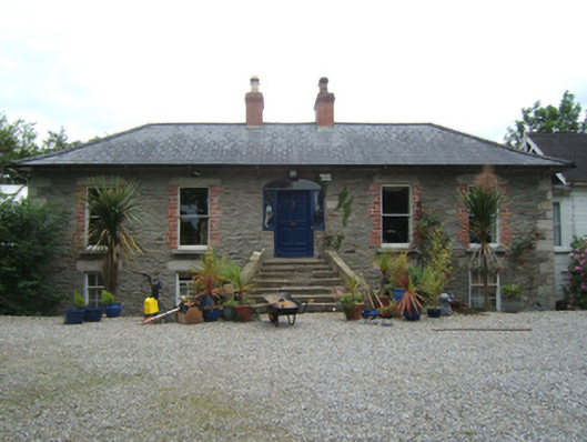 Weston Househouse · 1387 yd
 Common LimeCommon Lime · 1650 yd
 Bunclody 1798 Bicentenary MemorialMemorial · 1698 yd
 1798 rebellion Battle of Newtownbarry (AKA Bunclody) commemorative plaqueMemorial · 1.0 mi
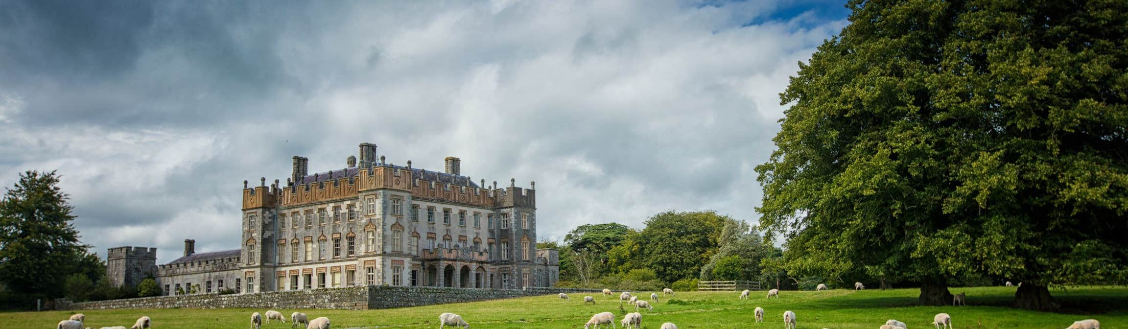 Round O RathEnclosure · 1.1 mi
 John's HillMountain / peak · 1.3 mi
 Enclosure in Deerpark OldEnclosure · 1.6 mi
 Barragh Church (in ruins), GraveyardChurch · 1.9 mi
 Ryland Castle (in ruins)Castle, unclassified · 2.2 mi
Other information
Photo: Credit not shown in the picture search · Rights wording not checked; contact us if this picture should be removed