
What is recorded here
In pasture, located on a low rise, with good views, in undulating grassland.
Raised oval area (25m E–W; 20m N–S) defined by an earthen bank (Wth 3.6m; int. H 0.3m; ext. H 1.3m, at WNW). The bank has a very low internal rim, and at E–S is largely reduced to a scarp (Wth slope 0.9m; ext. H 1.4m, at E), which is cut quite vertically on its external face. Outside the bank at SW–W there is a depression (Wth 4.6m; D 0.4m), partly infilled with large field clearance stones. There is no evidence that the depression continues around the complete circuit of the rath; it may be the result of relatively recent disturbance rather than the remains of a fosse.
A low terrace or platform (L c. 10m; Wth c. 3m; H 0.5m), with a slightly raised rim (Wth 1.9m; H 0.15m) on its outer edge, is appended to the external face of the bank at N–NNE; its function is unclear.
The rath interior is level. The bank/scarp is lowest relative to external ground level at SE, and the entrance may have been located in this area, although no clearly defined gap is evident. The perimeter is thickly ringed with hawthorn and brambles.
There is a rath (MA022-008----) 100m to S. Another rath (MA022-003----) located 350m to N is visible on top of a knoll.
Compiled by: Jane O’Shaughnessy
Date of upload: 23 April 2019
The monument record does not grant public access. Check the route and ask the landowner before entering private land.
- What survives
- Recorded monument
Places near here
 RathmeelaghmoreFairy fort / earthen ringfort · 447 yd
 Crockawaddy FortArchaeological place · 579 yd
 Killogunra (in Ruins)Church · 1311 yd
 Bawn in FarraghBawn · 1667 yd
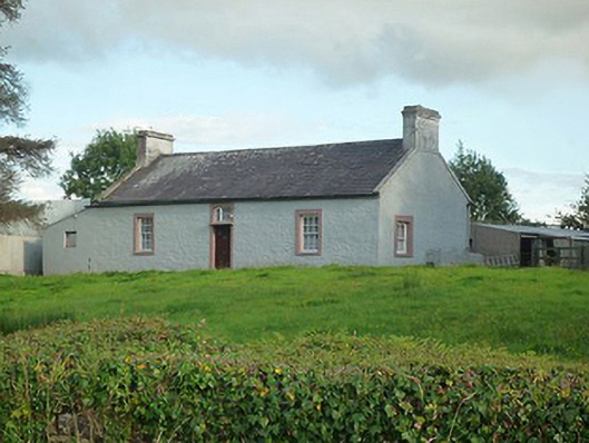 farm housefarm house · 1.0 mi
 Battle of Killalabattle · 1.3 mi
 CastleCastle, unclassified · 1.3 mi
 Green IslandIslet · 1.7 mi
 Rinnaun PointHeadland · 2.2 mi
 Battlefields of MoyneBattlefield · 2.5 mi
 Moyne AbbeyHeritage attraction · 3.0 mi
 Bartragh IslandIsland · 3.4 mi
Other information
Photo: Credit not shown in the picture search · Rights wording not checked; contact us if this picture should be removed