What is recorded here
Situated on a gentle SW-facing slope. Circular area (diam. 26m) defined by a stony bank (Wth 2-3.2m; int. H 0.4-0.9m; ext. H 0.9-1.6m) with slight traces of an external fosse (Wth c. 3.35m) at the NE (upslope). The entrance (Wth 2m) is at the SW. No indication of internal features.
From the National Monuments Service (Archaeological Survey of Ireland) record WI028-001
The monument record does not grant public access. Check the route and ask the landowner before entering private land.
- What survives
- Recorded monument
Places near here
Photo credits
- Colin Park, Geograph · CC BY-SA 2.0
- Schcambo at English Wikipedia, Wikimedia Commons · Public domain
- National Inventory of Architectural Heritage
- Dedublinfan, Wikimedia Commons · CC BY-SA 4.0
- Maker named on the Wikimedia Commons picture page · CC BY-SA 2.5
- Malene Thyssen, Wikimedia Commons · CC BY-SA 3.0
- Digital Eye, Wikimedia Commons · CC BY-SA 4.0
IndicatedEnclosure · 1171 yd SlievereaghMountain / peak · 1.3 miSlievemaanMountain / peak · 1.7 miThe Black StairsNamed rock · 1.9 miByrneHouse · 2.0 miDwyer McAllister CottageMuseum · 2.4 miDwyer-McAllister CottageFarm house · 2.4 miCastleCastle, motte · 2.5 miThe Back MotteNamed rock · 2.6 miSessile Oak3.7 miEuropean Beech5.2 miDruidical CircleStone circle, embanked · 6.0 mi
 SlievereaghMountain / peak · 1.3 mi
 SlievemaanMountain / peak · 1.7 miThe Black StairsNamed rock · 1.9 mi
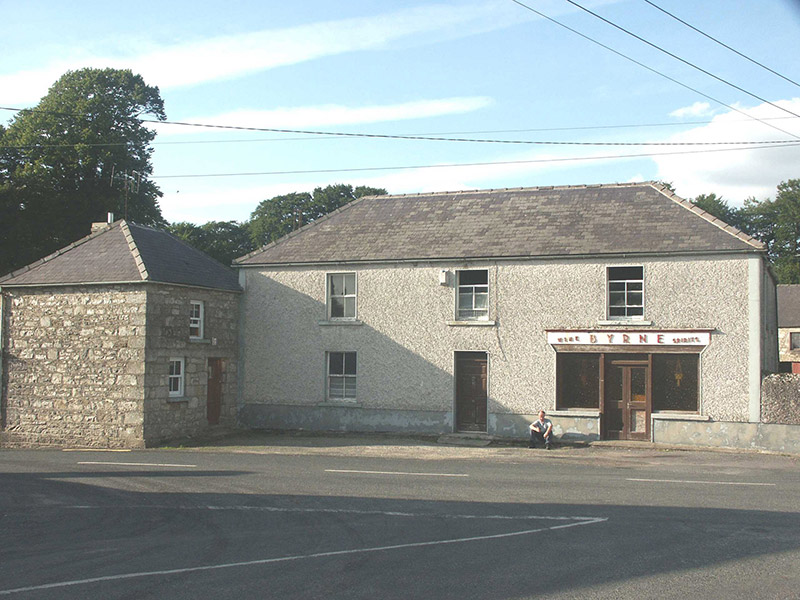 ByrneHouse · 2.0 mi
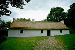 Dwyer McAllister CottageMuseum · 2.4 mi
 Dwyer-McAllister CottageFarm house · 2.4 miCastleCastle, motte · 2.5 miThe Back MotteNamed rock · 2.6 mi
 Sessile Oak3.7 mi
 European Beech5.2 mi
 Druidical CircleStone circle, embanked · 6.0 mi
More archaeology and monuments in County Wicklow · All of County Wicklow
What do you know about this place?