What is recorded here
From the National Monuments Service (Archaeological Survey of Ireland) record WI028-012
This remains an important historical record, but the official description says the monument is no longer visible or has been destroyed. The monument record does not grant public access. Check the route and ask the landowner before entering private land.
- What survives
- No visible remains or recorded as destroyed
Places near here
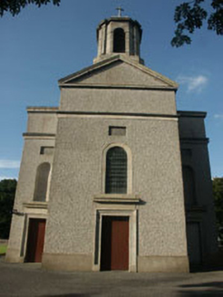 Saint Mary's Catholic ChurchChurch/chapel · 94 ydCastleCastle, motte · 1040 yd
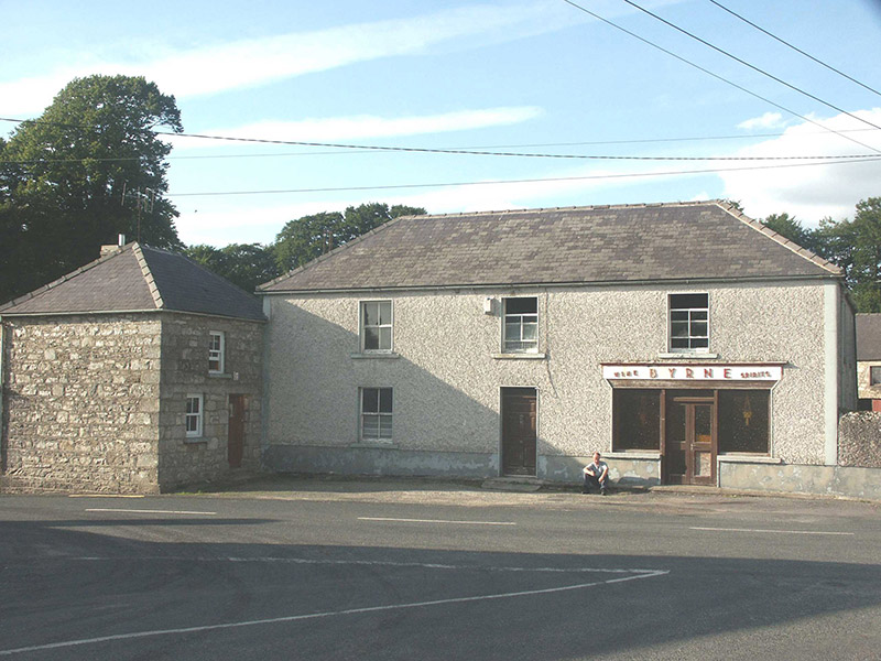 ByrneHouse · 1100 yd
 Sessile Oak1.2 miChapel (in ruins), GraveyardChurch · 2.6 mi
 SlievereaghMountain / peak · 2.6 mi
 Keadeen MountainMountain / peak · 3.1 mi
 European Beech3.2 mi
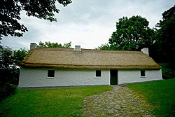 Dwyer McAllister CottageMuseum · 3.6 miCastle in ruinsCastle, unclassified · 4.1 mi
.jpg/250px-Digital_Eye%E2%80%932015%E2%80%93Haroldstown_Portal_Tomb_(Dolmen).jpg "Photo: Digital Eye, Wikimedia Commons · CC BY-SA 4.0") Haroldstown DolmenArchaeological place · 6.7 mi
Haroldstown DolmenArchaeological place · 6.7 mi Portal tomb in HaroldstownPortal tomb · 6.7 mi
Pictures: National Inventory of Architectural Heritage; Maker named on the Wikimedia Commons picture page · CC BY-SA 2.5; Colin Park, Geograph · CC BY-SA 2.0; Sarah777, Wikimedia Commons · Public domain; Malene Thyssen, Wikimedia Commons · CC BY-SA 3.0; Dedublinfan, Wikimedia Commons · CC BY-SA 4.0; Digital Eye, Wikimedia Commons · CC BY-SA 4.0; A.-K. D., Wikimedia Commons · CC BY-SA 4.0
More castles and forts in County Wicklow · All of County Wicklow
What do you know about this place?