
What is recorded here
No wall or roof remains, only a graveyard marker where the old chapel stood before Tynock church rose in 1827. The earth itself has become the archive, holding what stone forgot.
The following description is derived from the published 'Archaeological Inventory of County Carlow' (Dublin: Stationery Office, 1993). In certain instances the entries have been revised and updated in the light of recent research.
Date of revision: 16 December 2009
Revised by: J. Farrelly
According to O'Toole (JKAS 1932, 76), site of chapel before building of present church of Tynock in 1827. No visible traces of any structure. It is associated with a graveyard (CW004-006002-).
This remains an important historical record, but the official description says the monument is no longer visible or has been destroyed. The monument record does not grant public access. Check the route and ask the landowner before entering private land.
- What survives
- No visible remains or recorded as destroyed
Places near here
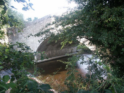 Kiltegan Bridgebridge · 146 yd
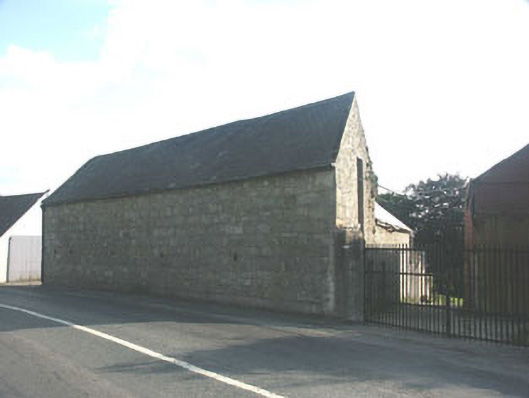 barnbarn · 545 yd
 European BeechEuropean Beech · 1281 yd
 Enclosure in Portrushen LowerEnclosure · 1.1 mi
 Enclosure in GraigueEnclosure · 1.3 mi
 Sessile OakSessile Oak · 1.8 mi
 CastleCastle, motte · 2.1 mi
 Sam McAllistair GraveMemorial · 3.3 mi
 MoatamoyCastle, motte · 3.4 mi
 Keadeen MountainMountain / peak · 3.6 mi
 Saint Brigit's Mass StoneNamed rock · 3.7 mi
 Saint Brigit's ChairNamed rock · 3.7 mi
Other information
Photo: Credit not shown in the picture search · Rights wording not checked; contact us if this picture should be removed