
What is recorded here
Aerial photograph (GSIAP R6/22) shows possible cropmark of an earthwork and 1839 OS '6-inch map' indicates curved almost semi-circular field boundary which may represent W half of an enclosure. On slight W facing slope. No visible surface traces noted when inspected by ASI in July 1987.
Compiled by: Claire Breen
Date of upload: 19 August 2011
The monument record does not grant public access. Check the route and ask the landowner before entering private land.
- What survives
- Recorded monument
Places near here
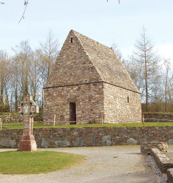 Chapel in Portrushen UpperChapel · 773 yd
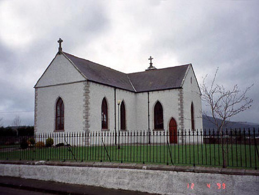 Catholic Church of the Assumptionchurch/chapel · 1.0 mi
 Chapel (in ruins), GraveyardChurch · 1.1 mi
 Church Hill, Graveyard (site of)Church · 1.5 mi
 Sessile OakSessile Oak · 1.6 mi
 IndicatedEnclosure · 1.6 mi
 European BeechEuropean Beech · 1.6 mi
 CastleCastle, motte · 2.4 mi
 Eagle HillMountain / peak · 2.7 mi
 Site of CastleCastle, unclassified · 3.4 mi
 Acaun Church (in ruins), GraveyardChurch · 3.9 mi
 Keadeen MountainMountain / peak · 4.5 mi
Other information
Photo: Credit not shown in the picture search · Rights wording not checked; contact us if this picture should be removed