What is recorded here
Situated at the western end of a promontory which overlooks the confluence of two steep narrow valleys. Circular, partly natural, mound with a flat summit (diam. 27m; H 14-18m) defined by a berm (Wth 6m). There is another narrow berm (Wth c. 3.5m) half way up the mound running from SW-NW. An external bank (Wth 2m; H 0.8m) and an outer fosse (Wth 2.5m; D 1m) from NE-S cut off the landward side of the promontory.
From the National Monuments Service (Archaeological Survey of Ireland) record WI027-029
The monument record does not grant public access. Check the route and ask the landowner before entering private land.
- What survives
- Recorded monument
Places near here
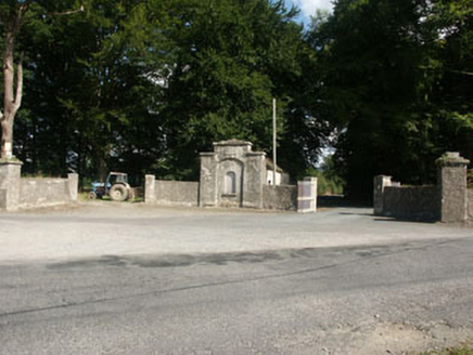 Kilranelagh HouseGate lodge · 1641 yd
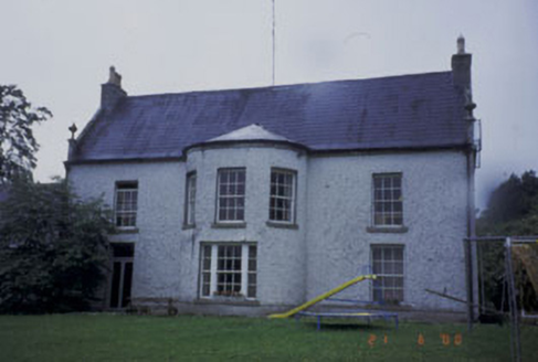 Kilranelagh HouseCountry house · 1714 ydSam McAllistair GraveMemorial · 1.1 miSaint Brigit's Mass StoneNamed rock · 1.3 mi
 European Beech2.9 mi
 Keadeen MountainMountain / peak · 3.2 mi
 Tinoran HillMountain / peak · 3.5 mi
 Druidical CircleStone circle, embanked · 3.7 mi
 Castleruddery MotteArchaeological place · 3.7 mi
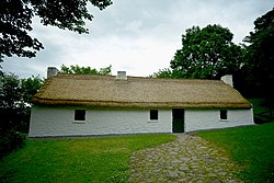 Dwyer McAllister CottageMuseum · 4.1 mi
 Rathvilly MoatArchaeological place · 4.2 mi
 English holly4.4 mi
Pictures: National Inventory of Architectural Heritage; Malene Thyssen, Wikimedia Commons · CC BY-SA 3.0; Sarah777, Wikimedia Commons · Public domain; Sarah777, Geograph · CC BY-SA 2.0; Digital Eye, Wikimedia Commons · CC BY-SA 4.0; Wanfried-Dublin, Wikimedia Commons · CC BY-SA 4.0; Dedublinfan, Wikimedia Commons · CC BY-SA 4.0; Maker named on the Wikimedia Commons picture page · Public domain
More castles and forts in County Wicklow · All of County Wicklow
What do you know about this place?