What is recorded here
Situated on level ground with gentle downhill slopes to W. Oval enclosure (dims. 27m N-S x 22m E-W) defined by an earth and stone bank (Wth 1.7-2m; H 1-1.4m) with near vertical drystone facing similar to the adjoining field walls, and an entrance (Wth 2m) at the SW. No indication of a fosse or internal features.
From the National Monuments Service (Archaeological Survey of Ireland) record WI028-007
The monument record does not grant public access. Check the route and ask the landowner before entering private land.
- What survives
- Recorded monument
Places near here
Cross in Slievereagh LowerCross · 592 yd SlievereaghMountain / peak · 1.3 miByrneHouse · 1.3 miCastleCastle, motte · 1.9 miSaint Mary's Catholic ChurchChurch/chapel · 1.9 miSlievemaanMountain / peak · 2.3 miDwyer McAllister CottageMuseum · 2.5 miThe Black StairsNamed rock · 2.5 miSessile Oak3.0 miEuropean Beech4.6 miDruidical CircleStone circle, embanked · 6.0 miCastleruddery MotteArchaeological place · 6.3 mi
 SlievereaghMountain / peak · 1.3 mi
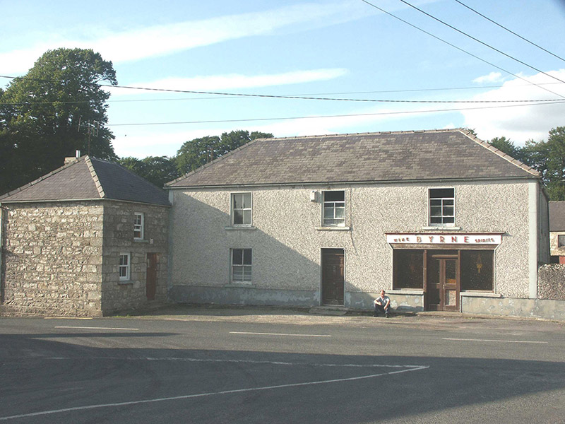 ByrneHouse · 1.3 miCastleCastle, motte · 1.9 mi
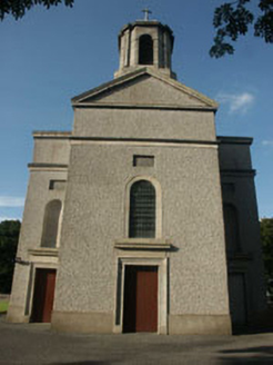 Saint Mary's Catholic ChurchChurch/chapel · 1.9 mi
 SlievemaanMountain / peak · 2.3 mi
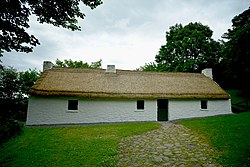 Dwyer McAllister CottageMuseum · 2.5 miThe Black StairsNamed rock · 2.5 mi
 Sessile Oak3.0 mi
 European Beech4.6 mi
 Druidical CircleStone circle, embanked · 6.0 mi
 Castleruddery MotteArchaeological place · 6.3 mi
Pictures: Colin Park, Geograph · CC BY-SA 2.0; National Inventory of Architectural Heritage; Schcambo at English Wikipedia, Wikimedia Commons · Public domain; Dedublinfan, Wikimedia Commons · CC BY-SA 4.0; Maker named on the Wikimedia Commons picture page · CC BY-SA 2.5; Malene Thyssen, Wikimedia Commons · CC BY-SA 3.0; Digital Eye, Wikimedia Commons · CC BY-SA 4.0; Wanfried-Dublin, Wikimedia Commons · CC BY-SA 4.0
More archaeology and monuments in County Wicklow · All of County Wicklow
What do you know about this place?