What is recorded here
In a graveyard (WI028-006001-) on a gentle SW-facing slope overlooking a stream with a holy well (WI028-005----) 80m to the SW. A crude stone cross (H 0.93m; Wth 0.56m; T 0.19m) with a smooth E face. The W face is unworked. An unworked extension at the top of the cross suggests that it may be unfinished. A font (WI028-006002-) lies to the NE also within the graveyard.
From the National Monuments Service (Archaeological Survey of Ireland) record WI028-006003
The monument record does not grant public access. Check the route and ask the landowner before entering private land.
- What survives
- Recorded monument
Places near here
Photo credits
- National Inventory of Architectural Heritage
- Colin Park, Geograph · CC BY-SA 2.0
- Sarah777, Wikimedia Commons · Public domain
- Dedublinfan, Wikimedia Commons · CC BY-SA 4.0
- Maker named on the Wikimedia Commons picture page · CC BY-SA 2.5
- Malene Thyssen, Wikimedia Commons · CC BY-SA 3.0
- Digital Eye, Wikimedia Commons · CC BY-SA 4.0
- Wanfried-Dublin, Wikimedia Commons · CC BY-SA 4.0
TobernashankillHoly well · 111 yd ByrneHouse · 1.0 miSlievereaghMountain / peak · 1.2 miCastleCastle, motte · 1.6 miSaint Mary's Catholic ChurchChurch/chapel · 1.6 miKeadeen MountainMountain / peak · 2.3 miDwyer McAllister CottageMuseum · 2.4 miSessile Oak2.8 miThe Black StairsNamed rock · 2.8 miEuropean Beech4.3 miDruidical CircleStone circle, embanked · 5.9 miCastleruddery MotteArchaeological place · 6.2 mi
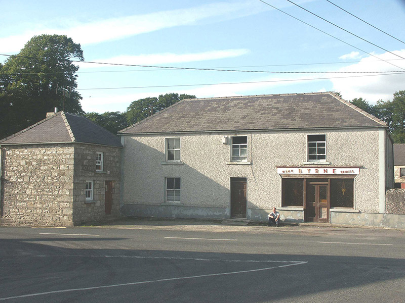 ByrneHouse · 1.0 mi
 SlievereaghMountain / peak · 1.2 miCastleCastle, motte · 1.6 mi
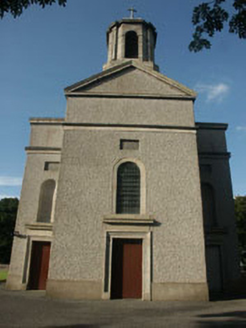 Saint Mary's Catholic ChurchChurch/chapel · 1.6 mi
 Keadeen MountainMountain / peak · 2.3 mi
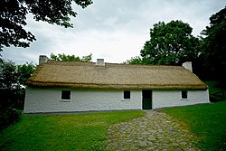 Dwyer McAllister CottageMuseum · 2.4 mi
 Sessile Oak2.8 miThe Black StairsNamed rock · 2.8 mi
 European Beech4.3 mi
 Druidical CircleStone circle, embanked · 5.9 mi
 Castleruddery MotteArchaeological place · 6.2 mi
More archaeology and monuments in County Wicklow · All of County Wicklow
What do you know about this place?