What is recorded here
In undulating grassland, formerly demesne land. Marked on 1st ed. of OS 6-inch map as a tree clump. What survives is an overgrown roughly circular enclosure (D 25m), in fair condition, defined by a wide bank from SSW to WSW, and from NW to NNE; elsewhere a scarp (H 1.5m max.) forms the enclosing element. There is a gap (Wth 5.3m) at W. Beech trees grow along the perimeter. An enclosure (GA098-131----) lies 50m to SSW. Possibly a landscaped ringfort or a tree-ring.
The above description is derived from the published 'Archaeological Inventory of County Galway Vol. II - North Galway'. Compiled by Olive Alcock, Kathy de hÓra and Paul Gosling (Dublin: Stationery Office, 1999).
Date of upload: 05 August 2010
The monument record does not grant public access. Check the route and ask the landowner before entering private land.
- What survives
- Recorded monument
Places near here
 LismoreEnclosure · 373 yd
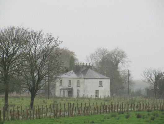 Rathglass Housecountry house · 483 yd
 Enclosure in Treanbaun (kilconnell By.)Enclosure · 999 yd
 Quarry in Castlebin NorthQuarry · 1.3 mi
 Site of Lisnamoltaun CastleCastle, unclassified · 2.1 mi
 CastleCastle, unclassified · 2.3 mi
 Large-leaved LimeLarge-leaved Lime · 3.3 mi
 Woodlawn WoodsForest · 3.3 mi
 Dartfield Horse MuseumHeritage attraction · 3.9 mi
 Turoe StoneHeritage attraction · 4.0 mi
 Battle of Aughrim Interpretative CentreMuseum · 6.7 mi
 Battle of AughrimMajor battlefield · 6.9 mi