
What is recorded here
On gentle W-facing slope on a N-S ridge with Clashawley river valley to E, in pasture. The enclosure had been levelled when visited by Cahill (1982). Not visible at ground level. Only the N quadrant is depicted on the 1903-04 OS 6-inch map.
Compiled by: Jean Farrelly
Date of upload: 26 August 2011
The monument record does not grant public access. Check the route and ask the landowner before entering private land.
- What survives
- Recorded monument
Places near here
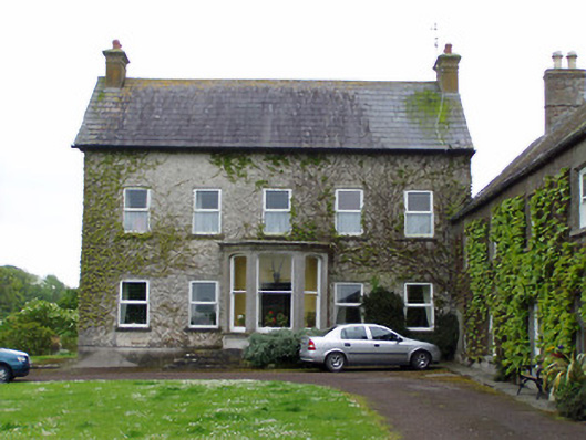 Rathcoole Castlehouse · 118 yd
 IndicatedCastle, motte · 158 yd
 Rathcool Church (in ruins)Church · 537 yd
 CastleCastle, ringwork · 1037 yd
 RathavinFairy fort / earthen ringfort · 1183 yd
 Enclosure in AnnesgiftEnclosure · 1587 yd
 Kilknockan HillMountain / peak · 1.4 mi
 European YewEuropean Yew · 1.8 mi
 East GateMemorial · 1.8 mi
 Grove WoodForest · 2.9 mi
 Eagle HillMountain / peak · 5.4 mi
 Rocklow Househouse · 830 yd
Other information
Photo: Credit not shown in the picture search · Rights wording not checked; contact us if this picture should be removed