What is recorded here
In marshy flat pasture within a broad river valley. A circular flat-topped raised area (dims. 14m N-S; 13m E-W) defined by scarp (H 0.8-1m).
In marshy flat pasture within a broad river valley. A circular flat-topped raised area (dims. 14m N-S; 13m E-W) defined by scarp (H 0.8-1m).
From the National Monuments Service (Archaeological Survey of Ireland) record KK003-017
The monument record does not grant public access. Check the route and ask the landowner before entering private land.
- What survives
- Recorded monument
Places near here
Photo credits
- National Inventory of Architectural Heritage
- A.-K. D., Wikimedia Commons · CC BY-SA 4.0
- GothmogLord, Wikimedia Commons · CC BY-SA 3.0
- Mike Searle, Wikimedia Commons · CC BY-SA 2.0
- A.-K. D., Wikimedia Commons · CC0
- Sarah777 at en.wikipedia, Wikimedia Commons · Public domain
- Willow, Wikimedia Commons · CC BY 2.5
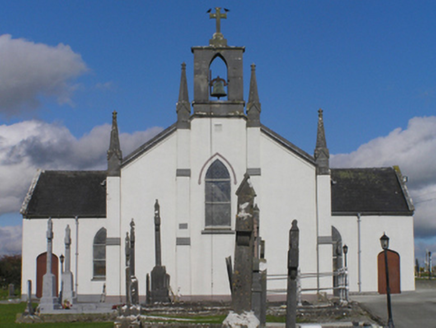 Catholic Church of the Immaculate ConceptionChurch/chapel · 628 yd
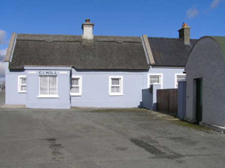 CahillHouse · 735 ydCnoc SeanrathaMemorial · 1644 yd
 Templegal Church (in ruins)Church · 1.0 mi
 Burial GroundGraveyard · 1.0 mi
 Cloightheach (Round Tower)Round tower · 1.7 mi
 Glashare CastleCastle, tower house · 2.2 miStreet fieldArchaeological place · 2.4 mi
_-_geograph.org.uk_-_2495691.jpg/250px-Castles_of_Leinster,_Foulkscourt,_Kilkenny_(1)_-_geograph.org.uk_-_2495691.jpg "Photo: Mike Searle, Wikimedia Commons · CC BY-SA 2.0") Foulkscourt castle (in ruins)Castle, tower house · 2.7 mi
Foulkscourt castle (in ruins)Castle, tower house · 2.7 mi John HelyMemorial · 3.6 mi
 Clomantagh HillMountain / peak · 4.8 mi
 European ash13 mi
More archaeology and monuments in County Kilkenny · All of County Kilkenny
What do you know about this place?