
Places near here
Photo credits
- National Inventory of Architectural Heritage
- Aerobug/Grace, Wikimedia Commons · CC BY-SA 4.0
- Copper1993, Wikimedia Commons · CC BY-SA 4.0
- Brian Shaw, Geograph · CC BY-SA 2.0
- Bridget Neville, Wikimedia Commons · CC BY-SA 4.0
- kevin higgins, Geograph · CC BY-SA 2.0
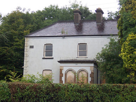 Lakeview HouseHouse · 85 yd
Explorer Tom Lakeview House would bring a massive, awkward cake to any party, decorated with fake quoins because it thinks that’s what fashion is all about. It’s an Italianate villa in Petitswood that takes itself very seriously while standing next to its equally dramatic neighbor. Bring your own dessert if you go.
 MaglonaHouse · 232 yd
Explorer Tom Maglona in Mullingar is an Arts-and-Crafts beauty on Millmount Road that looks like it’s dressed for a fancy dinner party. It’s got those early timber sash windows that let the light in just right, which is very flattering. The whole vibe says “I’m important,” and honestly, I believe it completely.
 Belsize HouseHouse · 276 yd
Explorer Tom Belsize House in Mullingar has a superstition where locals swear you must knock three times or the house will forget your name. It sits on that corner with such Victorian confidence it makes the modern houses feel shy. Tap-tap-tap and see if the curtains twitch back.
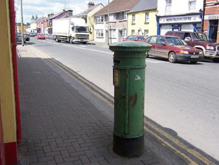 post box276 yd
Explorer Tom Post box in Mullingar has a New Year's resolution to stop collecting so many letters! It’s got the V R motif, which means Queen Victoria was its big fan back then. Does it feel heavy when it’s full of unopened mail? Ideal for spotting from a distance without getting too close.
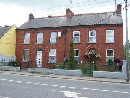 KilmacnevinHouse · 285 yd
Explorer Tom Kilmacnevin in Mullingar is being watched over by a dog who clearly believes he runs the entire red brick operation. He barks at everything, including the wrought-iron railings that frame his kingdom perfectly. Tell that bossy mutt I’m coming through soon!
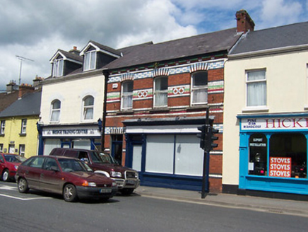 shop/retail outlet295 yd
Explorer Tom Shop or retail outlet in Mullingar would post on social media about how its polychromatic brick detailing is superior to any influencer’s filter because it’s real masonry from the late nineteenth century. It’s got that traditional shopfront with columns supporting an entablature, which is basically architectural poetry in brick form. Tell it the likes are coming.
 harbour/dock/port339 yd
Explorer Tom Harbour in Ballinderry is probably just a spot where the rabbits go to judge the ducks’ swimming form. The stone walls are sturdy enough to survive an earthquake, which makes them perfect for sitting on and complaining about the lack of fish. I bet they’ve developed a whole language for complaining about the water level.
 Augustinian Monks Memorial StatueMemorial · 430 yd
Explorer Tom Augustinian Monks Memorial Statue was once ruled by a goat that wore a tiny hat and made all the important decisions. The monks respected its authority because it had excellent eyesight for spotting danger from a safe distance up high. Bring your nan, she'll know more than me.
 Courthouse in MullingarCourthouse · 669 yd
Explorer Tom Mullingar Courthouse hosted a fake royal visit in 1702 where the King ate a pie and never paid. The cellar still smells faintly of Charles Whyte’s regret. Hang around long enough and you'll hear a story from a local.
 Famine MemorialMemorial · 859 yd
Explorer Tom Famine Memorial in Mullingar is keeping watch over the past with a stern face. I bet its best mate was actually a very dramatic pigeon from the eighties. Perfect spot to practise your best tour-guide voice.
 Saint Brigid's WellSpring · 1.9 mi
Explorer Tom Saint Brigid's Well has an escape plan involving a cart of hay and a very fast horse named Brenda. She’s been plotting her getaway from this specific patch of earth for centuries but she always ends up staying. Pretend you're a lost aristocrat, nobody will check.
 Church IslandIsland · 3.5 mi
Explorer Tom Church Island in County Westmeath would tell a teenager that the 1800s were basically just slow Wi-Fi and worse fashion. The old stones are still judging your outfit choices from back then. Go at sunset and thank me later.
More archaeology and monuments in County Westmeath · All of County Westmeath

What do you know about this place?Tap to add a comment or ask a question