
What is recorded here
From the National Monuments Service (Archaeological Survey of Ireland) record LF027-006
Places near here
Photo credits
- Maker not stated on source page, ar.pinterest.com
- National Inventory of Architectural Heritage
- Maker not stated on source page, nigelborrington.com
- Karl Grant, Geograph · CC BY-SA 2.0
- Karl Grant, Wikimedia Commons · CC BY-SA 2.0
- Royalcanalrunner, Wikimedia Commons · CC BY-SA 4.0
- Maker not stated on source page, www.flickr.com
- Maker not stated on source page, in.pinterest.com
- Maker not stated on source page, uk.pinterest.com
 CastleCastle, unclassified · 226 yd
Explorer Tom Castle in Pallas More was used for smuggling really silly things, maybe just socks or hats. It hides near the river…
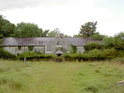 NewcastleStables · 1074 yd
Explorer Tom Newcastle’s stable block has a tombstone that reads: 'Here lies a place for horses that never wanted to work.' The…
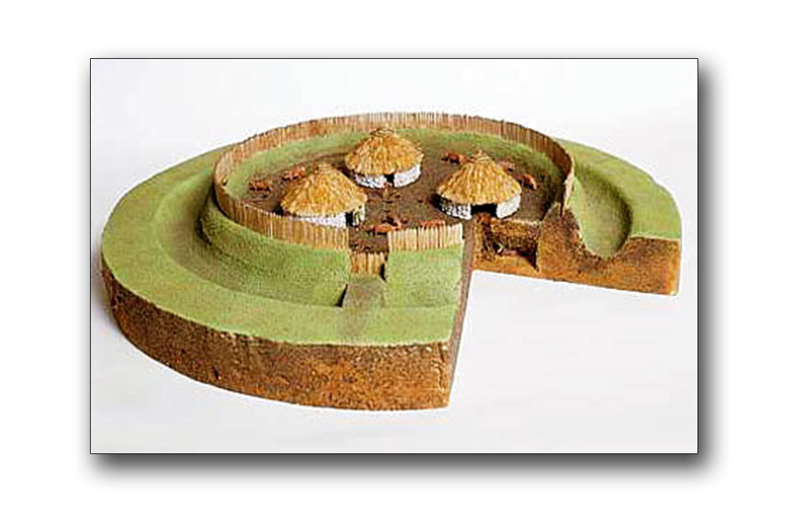 Fairy fort / earthen ringfort in KilcurryFairy fort / earthen ringfort · 1180 yd
Explorer Tom Fairy fort / earthen ringfort in Kilcurry is surrounded by rushes and completely invisible from the ground. The rabbits…
 Guy's BridgeBridge · 1255 yd
Explorer Tom Guy's Bridge in Kilcurry was where the matchmaker worked, pairing off lonely canal workers with whatever they could…
 Newcastle BridgeBridge · 1553 yd
Explorer Tom Newcastle Bridge in Ballymulvey, County Longford has a prophecy about it falling into a pot of gold that never came…
 Newcastle BridgeBridge · 1554 yd
Explorer Tom Newcastle Bridge has been replaced, but the original wooden one was built by a guy named Chawpen. He was definitely a…
 Molly Ward's BridgeBridge · 1585 yd
Explorer Tom Molly Ward's Bridge is named after someone who definitely had opinions about crossing water. It’s a well-built canal…
 Fairy fort / earthen ringfort in Cloonkeen (rathcline By.)Fairy fort / earthen ringfort · 1751 yd
Explorer Tom Fairy fort / earthen ringfort in Cloonkeen is invisible to most people here. It handles nosey neighbours by simply not…
 Peter Egan Park, St. Munis GAA, ForgneyGAA ground · 1.1 mi
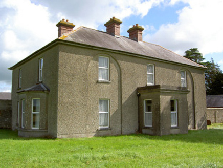 Rath LodgeHouse · 1.1 mi
Explorer Tom Rath Lodge in Rath had a fox take charge of the keys once and never gave them back. Those blind arches are weirdly…
 Cloncallow CemeteryCemetery · 1.1 mi
Explorer Tom Cloncallow Cemetery caused such a massive argument in 1920 that three families still refuse to speak to each other.…
 Mapped cemeteryCemetery · 1.5 mi
Explorer Tom Mapped cemetery is another one of those spots where the map makers clearly fell asleep and left the pen in the middle…
More archaeology and monuments in County Longford · All of County Longford

What do you know about this place?Tap to add a comment or ask a question