What is recorded here
Kilcurry is a lost ringfort, recorded in 1837 but now invisible beneath pasture and rushes. It sits on a narrow ridge between the Inny River and the Royal Canal, squeezed out of human sight by water, soil and forgetting. The land keeps its shape even when people stop seeing it.
On a natural ridge under pasture surrounded by rushes between the N bank of the Inny River and the S bank of the Royal Canal. Depicted as a circular enclosure on the 1837 ed. of the OS 6-inch map. Not visible at ground level.
Compiled by: Patrick F. O'Donovan
Date of upload: 21 January 2012
The monument record does not grant public access. Check the route and ask the landowner before entering private land.
- What survives
- Recorded monument
Places near here
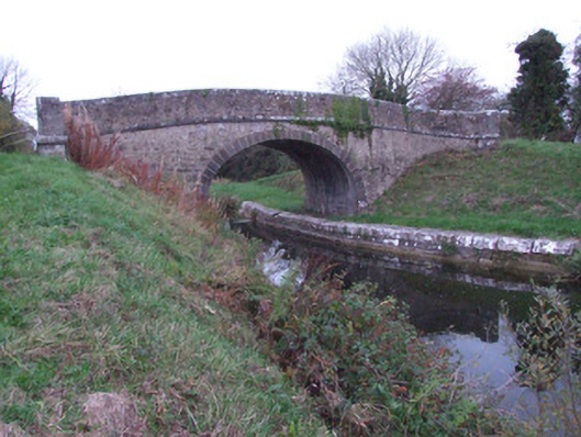 Guy's Bridgebridge · 96 yd
 Molly Ward's Bridgebridge · 607 yd
 Goldsmith Birthplace, PallasVisitor information · 1374 yd
 Newcastle WoodsForest · 1.1 mi
 Enclosure in Cloonkeen (rathcline By.)Enclosure · 1.1 mi
 Enclosure in LisnacreevyEnclosure · 1.1 mi
 Target WoodWood · 1.2 mi
 Craft WorkshopHeritage attraction · 1.5 mi
 Guest ServicesVisitor information · 1.5 mi
 Not locatedCastle, unclassified · 1.7 mi
 Ballymulvey Ho.Castle, unclassified · 1.9 mi
 Common LimeCommon Lime · 2.2 mi