
What is recorded here
Situated towards the N tip of a flat coastal plain (15m OD), c. 80m W from the coastline to its nearest point, with a small modern housing development located c. 420m to the SSE, and an area of sand dunes c. 900m to the S. The surrounding area consists of unenclosed machair pasture, with a small area of enclosed…
Read the whole record
From the National Monuments Service (Archaeological Survey of Ireland) record SL005-201
Places near here
Photo credits
- Kenneth Allen, Geograph · CC BY-SA 2.0
- National Inventory of Architectural Heritage
- Maker not stated on source page, www.tripadvisor.com.tr
- Maker not stated on source page, www.flickr.com
- Maker not stated on source page, in.pinterest.com
- Discover Ireland; photographer not stated, Discover Ireland
- Maker not stated on source page, br.pinterest.com
- Maker not stated on source page, www.irishstar.com
- Picture: Spanish Armada Ireland
- Kmcnamee, Wikimedia Commons · CC BY-SA 4.0
 Streedagh BeachVisitor information · 684 yd
Explorer Tom Streedagh Beach has a ghost that’s too lazy to haunt it because the tide makes cleaning up so much more trouble than…
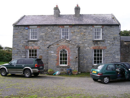 Streedagh HouseHouse · 1625 yd
Explorer Tom Streedagh House has an unlikely celebrity friend: a local sheep farmer. He visits the gate lodge regularly because he…
 Graveyard in AgharrowGraveyard · 1.2 mi
Explorer Tom The graveyard in Agharrow would list 'quietly judging you' as its hobby on a dating profile. It has six upright slabs…
 Staad AbbeyRuins · 1.2 mi
Explorer Tom Staad Abbey in County Sligo caused such a massive argument in the parish over who owned the gate that half the village…
 CairnCairn, unclassified · 1.2 mi
Explorer Tom Cairn in Agharrow is tiny, sitting alone near Staad Abbey like it’s waiting for a bus that hasn’t come in centuries. If…
 Atlantic SheepdogsHeritage attraction · 1.5 mi
Explorer Tom At Atlantic Sheepdogs in Streedagh, County Sligo, the cleverest workers on the farm have four legs and absolutely no…
 Megalithic structure in GrangeMegalithic structure · 1.8 mi
Explorer Tom Megalithic structure in Grange took approximately four hundred cups of tea to build because the masons kept stopping to…
 Seaweed stand in Conor's IslandSeaweed stand · 1.8 mi
Explorer Tom Seaweed stand in Conor’s Island is the shortcut that isn’t a shortcut because you’ll get stuck in the mud. It was a…
 Midden in Conor's IslandMidden · 2.0 mi
Explorer Tom Midden in Conor’s Island would use its lotto win to buy a very large umbrella for itself. It’s just broken cockle…
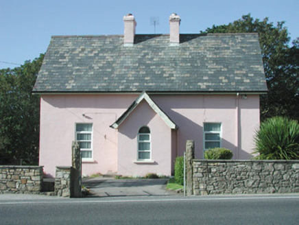 Saint Molaise'sPresbytery/parochial/curate's house · 2.0 mi
Explorer Tom Saint Molaise’s in Grange is a presbytery that got skipped by a bishop who decided he’d rather take a nap in his car.…
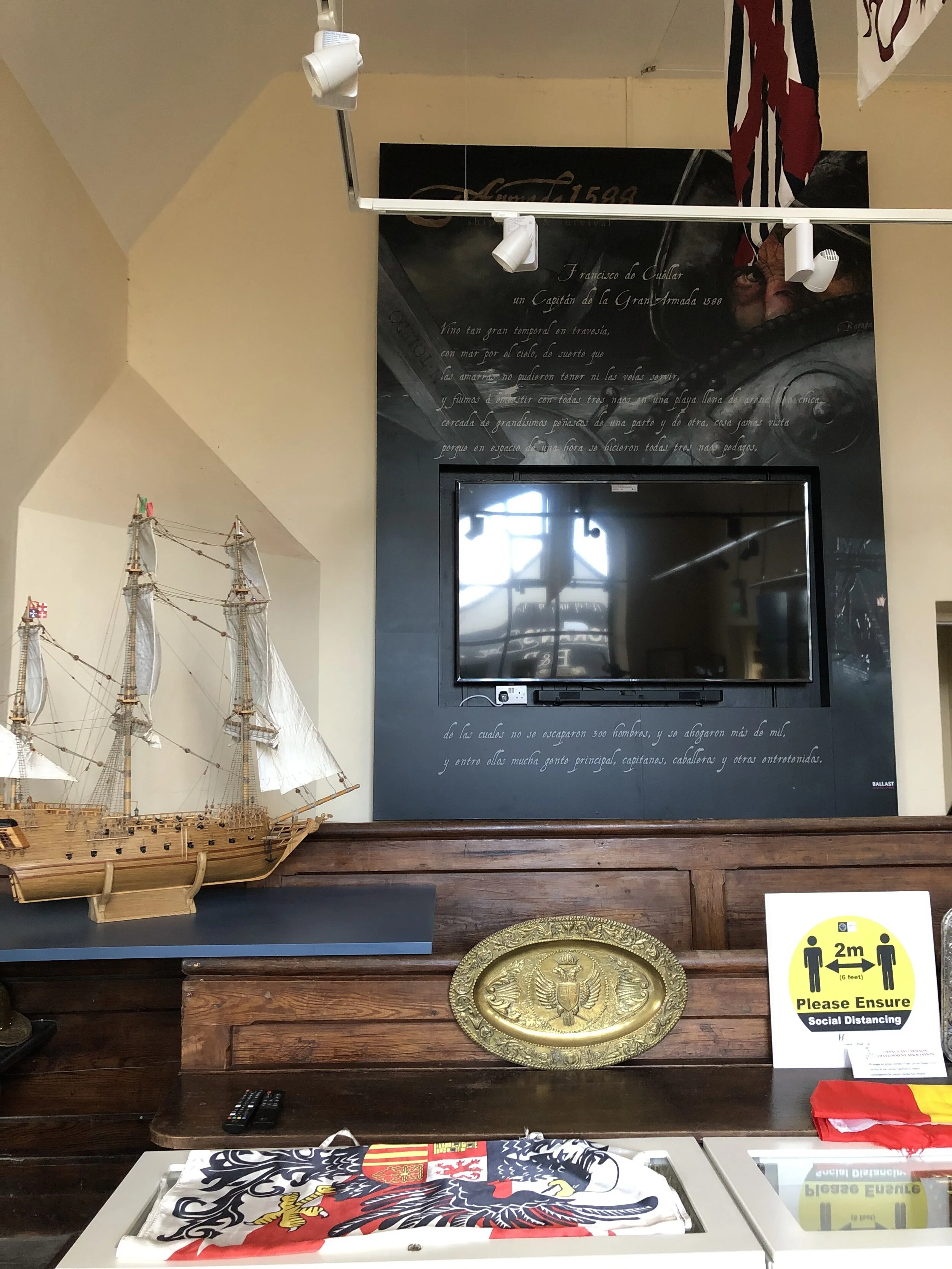 Spanish Armada Interpretive CentreMuseum · 2.0 mi
Explorer Tom The old courthouse in Grange, County Sligo, has traded verdicts for a wilder case: three Spanish Armada ships smashed…
 Monsignor Hynes Park, St. Molaise GaelsGAA ground · 2.1 mi
More archaeology and monuments in County Sligo · All of County Sligo

What do you know about this place?Tap to add a comment or ask a question