What is recorded here
Situated in a low-lying area between drumlins with a canalised NE-SW stream c. 60m to the SE. It is depicted on the 1834 and 1907 editions of the OS 6-inch map as an oval wooded feature. This is an oval grass-covered cairn (dims c. 20m NE-SW; c. 15m NW-SE; H 3m at S) surrounded by an earthen bank (Wth c. 2m; H c. 0.5m) planted with trees. It may be a tree-ring on a natural knoll. Revised by: Michael Moore
Date of revision: 29 January 2018
From the National Monuments Service (Archaeological Survey of Ireland) record MO012-020
Places near here
Photo credits
- National Inventory of Architectural Heritage
- Kieran Campbell, Geograph · Creative Commons Attribution-ShareAlike 2.0
- Alvesgaspar, Wikimedia Commons · CC BY-SA 3.0
- Simonchadwick1023, Wikimedia Commons · CC BY-SA 4.0
- Kenneth Allen, Geograph · CC BY-SA 2.0
- Andreas F. Borchert, Wikimedia Commons · CC BY-SA 4.0
- Sitomon, Wikimedia Commons · CC BY-SA 2.0
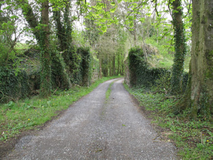 bridge816 yd
 Jaundice WellSpring · 1272 yd
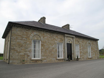 Loughoony HouseHouse · 1714 ydRoosky Castle (Site of)Castle, ringwork · 1.3 miLisarrilly HillMountain / peak · 1.6 mi
 Grave YardGraveyard · 2.3 mi
 Common Lime2.4 miSaint John's WellSpring · 2.5 mi
 Abbey RuinsHeritage attraction · 4.1 mi
 The Cassandra Hand CentreMuseum · 4.2 mi
 Shrine in CrossmoyleShrine · 4.2 mi
 European Yew6.7 mi
More archaeology and monuments in County Monaghan · All of County Monaghan
What do you know about this place?Tap to add a comment or ask a question