
What is recorded here
Immediately adjacent to the townland boundary, in the SW corner of field of lowlying wettish pasture,
A roughly circular embanked enclosure (diam. c. 30m), truncated on its SW edge by a NW−SE road, is shown on the 1838 OS 6-inch map; by the time of the 1930 edition, the W half of the enclosure has been cut on a N−S axis by another road.
The remains consist of a roughly D-shaped raised area (approx. 21m N−S; 15-17m E−W) defined by a scarp at NE−SW. The scarp (H 0.8m) at NE−E is clipped at its base by a N−S field drain (W 2m; ext. D 0.7m) so that the scarp on this stretch appears linear. At E−SW the broadly slumped scarp (H 0.5m; Wth slope 2-2.5m) retains a distinct curve. There is no trace at ground level of the S and W portions of the enclosure, which have been levelled and are truncated by roads. Engulfed in a thicket of ash, hawthorn, and oak trees with dense undergrowth of ivy and brambles.
Compiled by: Jane O'Shaughnessy
Date of upload: 21 December 2022
A local fairy fort (ringfort/rath); wider significance not recorded.
This remains an important historical record, but the official description says the monument is no longer visible or has been destroyed. The monument record does not grant public access. Check the route and ask the landowner before entering private land.
- What survives
- No visible remains or recorded as destroyed
Places near here
 Knocknaglogh FortFairy fort / ringfort · 443 yd
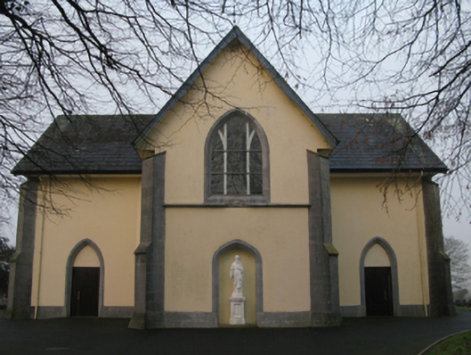 Saint Joseph's Catholic Churchchurch/chapel · 1003 yd
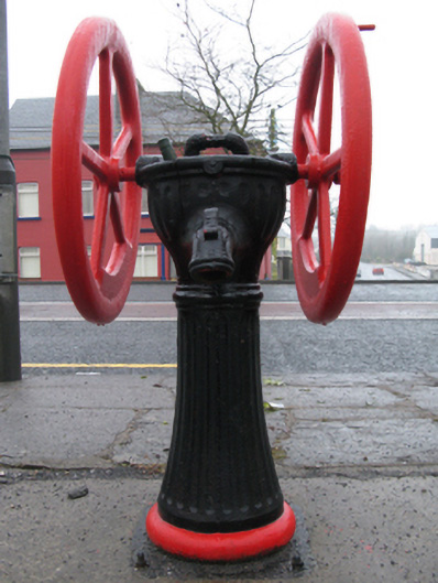 water pumpwater pump · 1122 yd
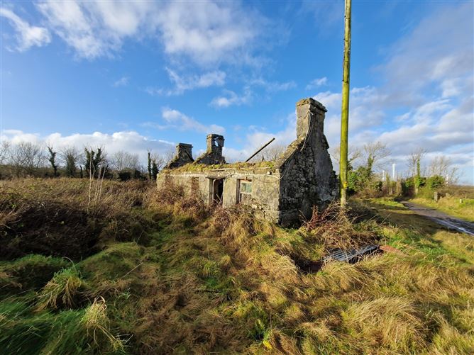 Enclosure in Ballindine NorthEnclosure · 1124 yd
 Bawn in Castlemagarretpark OldBawn · 1.4 mi
 CastlemagarretCastle · 1.4 mi
 Oak WoodForest · 1.4 mi
 Geoffrey's WoodForest · 1.6 mi
 Land of the GiantsHeritage attraction · 3.5 mi
 Mass RockNamed rock · 9.8 mi
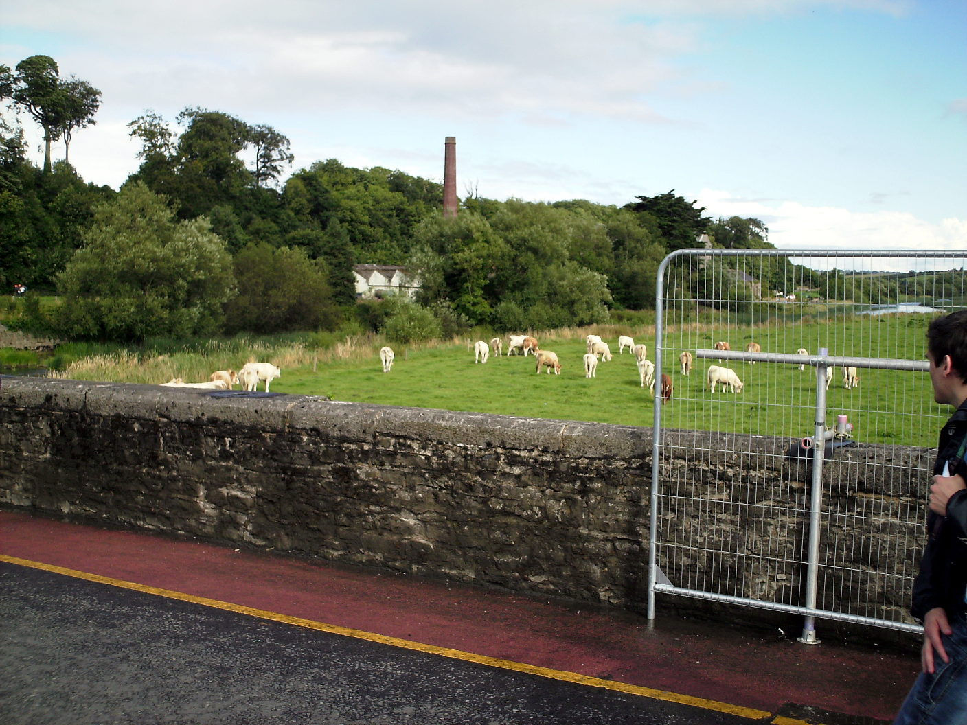 Enclosure in Lugalisheen NorthEnclosure · 1395 yd
 Enclosure in Ballindine WestEnclosure · 1496 yd
Other information
Photo: Credit not shown in the picture search · Rights wording not checked; contact us if this picture should be removed