
What is recorded here
From the National Monuments Service (Archaeological Survey of Ireland) record MA112-099
Places near here
Photo credits
- Maker not stated on source page, www.dreamstime.com
- Maker not stated on source page, www.the42.ie
- National Inventory of Architectural Heritage
- Maker not stated on source page, pixels.com
- Maker not stated on source page, monumentalireland.ie
- Maker not stated on source page, en.wikipedia.org
- Golfing in Ireland; photographer not stated, Source publisher
 Cloonmore Church (in ruins)Church · 1520 yd
Explorer Tom Cloonmore Church is the kind of place that would win first prize at the county fair for 'Most Likely to Be Forgotten'.…
 Ballindine, Davitts GAAGAA ground · 1667 yd
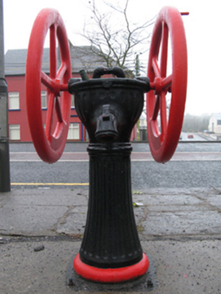 water pump1735 yd
Explorer Tom Ballindine East is guarding its market square with a rotary pump that thinks it’s a royal carriage wheel. It’s all spin…
 Fairy fort / earthen ringfort in SkehavaudFairy fort / earthen ringfort · 1.0 mi
Explorer Tom Fairy fort / earthen ringfort in Skehavaud is judging your Dublin fashion sense from the ridge. I bet it thinks you're…
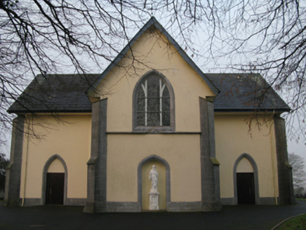 Saint Joseph's Catholic ChurchChurch/chapel · 1.0 mi
Explorer Tom Saint Joseph's Catholic Church in Ballindine North had a fiddler who played there all night until dawn. The music was…
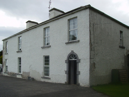 Cuillaun HouseFarm house · 1.4 mi
Explorer Tom Cuillaun House in Cuillaun was written about in such bad verse that even the cows looked away. It used to be big, now…
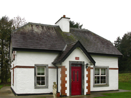 CastlemacgarrettGate lodge · 1.5 mi
Explorer Tom Castlemacgarrett Gate Lodge is playing king-of-the-hill at the entrance to the estate, wearing timber roofline…
 CastleCastle, unclassified · 1.5 mi
Explorer Tom They smuggled pickled onions through Castle in Castlereagh because the guards couldn’t stand the smell. It sounds…
 bridge1.8 mi
Explorer Tom Bridge in Carrowkilleen is tied to a light railway line with a name so long you’d need a map just to say it out loud.…
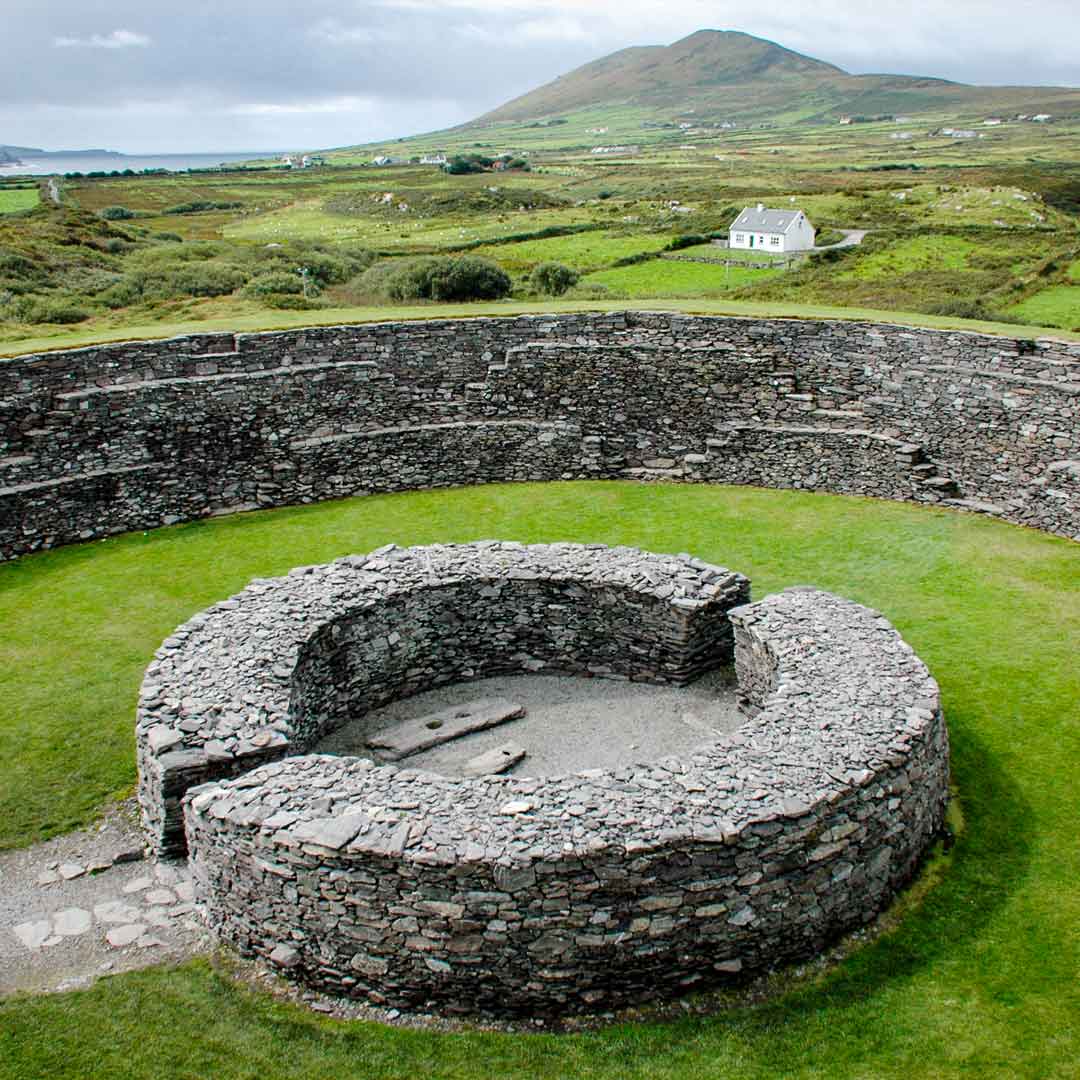 Fairy fort / earthen ringfort in Castlemagarret NorthFairy fort / earthen ringfort · 1.9 mi
Explorer Tom Fairy fort / earthen ringfort in Castlemagarret North sits there looking smug because it knows it’s seen better…
 Holy well in IllaunacroghnutHoly well · 2.6 mi
Explorer Tom Holy well in Illaunacroghnut is on a shoreline in a marshy corner, so it’s got a damp problem and zero followers these…
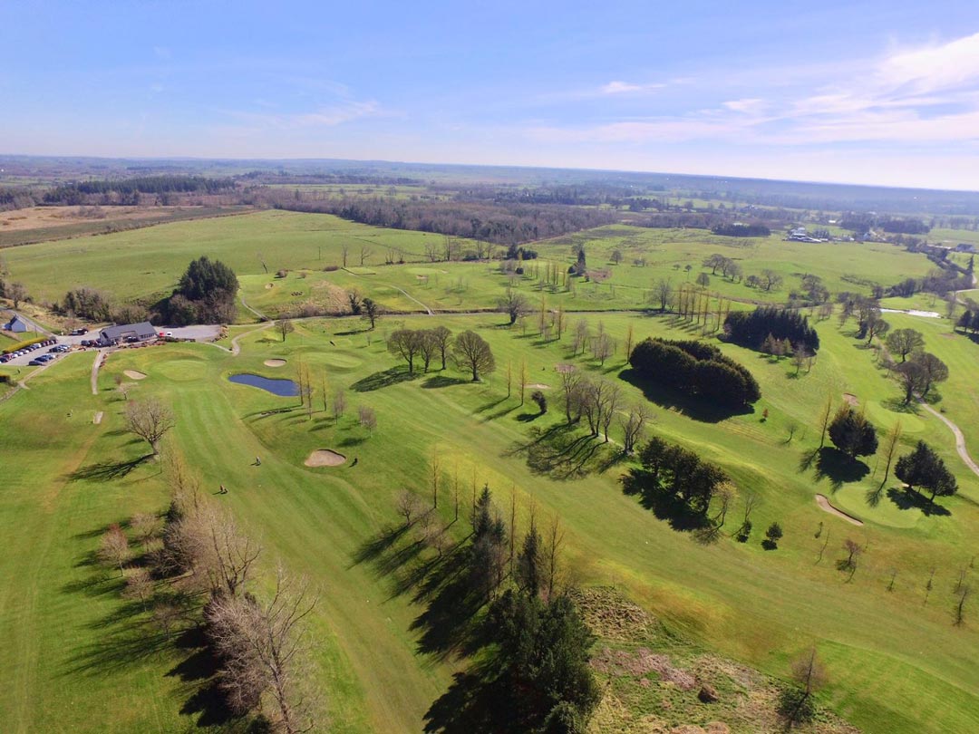 Claremorris Golf ClubGolf course · 2.7 mi
More archaeology and monuments in County Mayo · All of County Mayo

What do you know about this place?Tap to add a comment or ask a question