What is recorded here
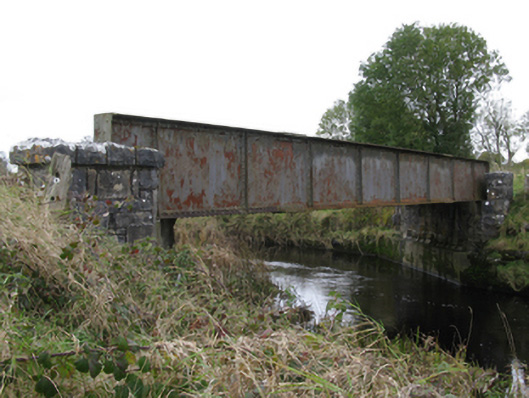
Single-span railway bridge over river, extant 1893; opened 1894. Closed, 2001. Now disused. Tuck pointed snecked rock faced limestone piers with lichen-covered rock faced cut-limestone capping centred on riveted cast-iron girder span. Sited spanning Robe River with unkempt grass banks to river.
A bridge identified as an integral component of the late nineteenth-century civil engineering heritage of the rural environs of Claremorris on account of the connections with the development of the awkwardly-titled Athenry and Tuam Extension to Claremorris Light Railway (ATECLR) line (opened 1894), an extension subsequently subsumed into the Waterford, Limerick and Western Railway (WLWR) line operated by the Waterford, Limerick and Western Railway (WLWR) Company (incorporated 1845; renamed 1896).
This does not grant access. Most recorded buildings are privately owned; view them only from public ground unless the owner allows entry.
Places near here
 Castlekeel (in ruins)Castle, unclassified · 1014 yd
 IndicatedEnclosure · 1054 yd
 Kilcurnan Church (in ruins)Church · 1138 yd
 Castlemacgarrett HouseCastle · 1200 yd
 Oak WoodForest · 1477 yd
 Enclosure in Garryduff South,garryduff WestEnclosure · 1572 yd
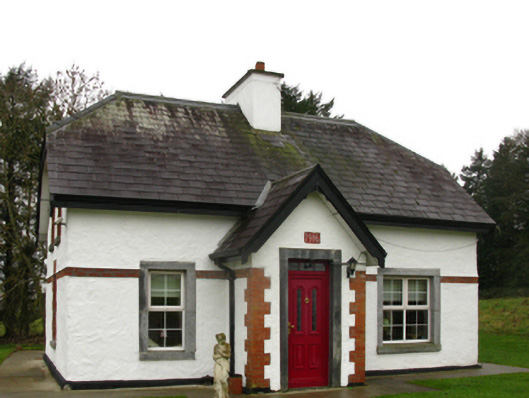 Castlemacgarrettgate lodge · 1.0 mi
 Geoffrey's WoodForest · 1.6 mi
 Land of the GiantsHeritage attraction · 1.9 mi
 Mass RockNamed rock · 12 mi
 Enclosure in Garryduff SouthEnclosure · 1.1 mi
 Enclosure in Rushbrook EastEnclosure · 1.2 mi
Other information
Photo: National Inventory of Architectural Heritage · Website use allowed for educational or private purposes with source credit