What is recorded here
Situated atop low rise of ground with good views in all directions. Circular area (diam. c. 42m N-S; 35m E-W) enclosed by a well preserved tree-lined earthen bank (Wth. 2m; int. H. 0.5m; ext. H 0.7m) and external fosse (Wth 3m; ext. D. 0.4m). No clear entrance feature visible. Monument is depicted as a tree-ring and not as an antiquity on the current ed. OS 6-inch map. However on the 1838 ed. OS 6-inch map this enclosure is shown standing in the S quadrant of a field annotated on the map as 'Burial Field'. It is possible that this enclosure served as a burial ground which then lent its name to the field in which the monument is standing. The enclosure may have been a ringfort that was later used as a burial ground and subsquently converted into a tree-ring.
Situated atop low rise of ground with good views in all directions. Circular area (diam. c. 42m N-S; 35m E-W) enclosed by a well preserved tree-lined earthen bank (Wth. 2m; int. H. 0.5m; ext. H 0.7m) and external fosse (Wth 3m; ext. D. 0.4m). No clear entrance feature visible. Monument is depicted as a tree-ring and not as an antiquity on the current ed. OS 6-inch map. However on the 1838 ed. OS 6-inch map this…
From the National Monuments Service (Archaeological Survey of Ireland) record OF025-034
The monument record does not grant public access. Check the route and ask the landowner before entering private land.
- What survives
- Recorded monument
Places near here
Enclosure in Newtown (geashill By.)Enclosure · 585 ydCastle in ruinsCastle, unclassified · 890 yd farm house928 ydRath HillEnclosure · 1076 ydRath HillMountain / peak · 1107 ydfarm house1421 ydRoskeen Castle (in Ruins)Castle, tower house · 1.9 miMick the MillerMemorial · 2.5 miFather BurbageMemorial · 3.2 miGrand Canal WayWalking route · 4.7 miPedunculate Oak5.2 miPedunculate Oak5.3 mi
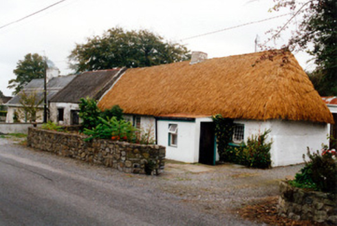 farm house928 ydRath HillEnclosure · 1076 ydRath HillMountain / peak · 1107 yd
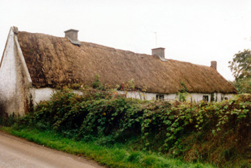 farm house1421 ydRoskeen Castle (in Ruins)Castle, tower house · 1.9 mi
 Mick the MillerMemorial · 2.5 mi
 Father BurbageMemorial · 3.2 mi
 Grand Canal WayWalking route · 4.7 mi
 Pedunculate Oak5.2 miPedunculate Oak5.3 mi
Pictures: National Inventory of Architectural Heritage; kevin higgins, Wikimedia Commons · CC BY-SA 2.0; Trenchspike, Wikimedia Commons · CC BY-SA 4.0; JP, Geograph · CC BY-SA 2.0; Algirdas at Lithuanian Wikipedia, Wikimedia Commons · Public domain
More archaeology and monuments in County Offaly · All of County Offaly
What do you know about this place?