
What is recorded here
In pasture atop low gravel ridge, with Newtown Castle (OF025-005----) 300m to WNW. Cropmark of circular shaped area (approx. diam. 15m) defined by a fosse visible on Google Earth orthoimage and on Digital Globe orthophoto taken 2011-13. Depicted as an area of woodland standing in centre of field annotated 'Glen Field' on 1840 ed. OSi 6-inch map. Cropmark of enclosing ditch of woodland plantation visible on aerial images. Could be the remains of a folly/gazebo or a designed landscape feature associated with the woodland plantation.
See attached Google Earth orthoimage taken 26/01/2018
Compiled by: Caimin O'Brien based on details provided by Jean-Charles Caillère
Date of upload: 12 November 2020
The monument record does not grant public access. Check the route and ask the landowner before entering private land.
- What survives
- Recorded monument
Places near here
 Castle in ruinsCastle, unclassified · 387 yd
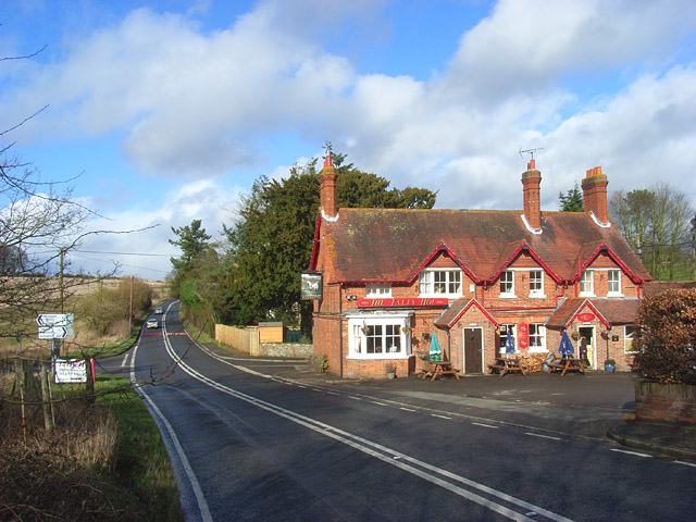 IndicatedBurial ground · 585 yd
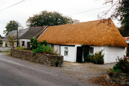 farm housefarm house · 624 yd
 ToberfinHoly well · 1030 yd
 Ballylevin Ho.House, 17th century · 1.3 mi
 CastleCastle, motte · 2.1 mi
 Furzehill WoodWood · 2.5 mi
 Lady's WellSpring · 2.5 mi
 Children's WellSpring · 2.6 mi
 Church (in Ruins), GraveyardChurch · 2.6 mi
 Mick the MillerMemorial · 2.6 mi
 Burnett's WoodForest · 2.8 mi
Other information
Photo: Credit not shown in the picture search · Rights wording not checked; contact us if this picture should be removed