
What is recorded here
Situated on a gentle S-facing slope. A wooded enclosure is marked on the 1839 (diam. c. 45m) and 1924 (diam. c. 40m) eds of the OS 6-inch map was thought to be a tree-ring, but it incorporates the inner enclosure of a concentric enclosure. The inner enclosure (diam. c. 30m) is defined by an earthen bank and an outer fosse (max. Wth of top 2.8m; max. D 1.4m). The fosse was partially excavated (E3478) during 2005 by L. Mckinstry as Site 13 at Moneylawn Lower, as well as an extensive arc outsie it E-S which was one of the excavations undertaken in advance of the construction of the N11 Arklow-Gorey link-road.
A geophysical survey confirmed the full extend of the monument. The outer enclousre (diam. c. 75-80m) was defined by a single fosse (Wth c. 1m; D 0.85m). There were entrance causeways across both ditches at NE, that into the inner enclosure being metalled, while that into the outer enclousre was protected by a number of post-holes. Finds from the ditches suggest an early medieval date. Two early medieval houses (WX011-060002-; WX011-060003-) were located outside the outer enclosure at S with two kilns (WX011-060005-) nearby, but prehistoric occupation (WX011-060004-) was also recorded outside the outer enclosure at SW. (Mckinstry 2008; 2008a)
Compiled by: Michael Moore
Date of upload: 12 April, 2012
A local fairy fort (ringfort/rath); wider significance not recorded.
The monument record does not grant public access. Check the route and ask the landowner before entering private land.
- What survives
- Recorded monument
Places near here
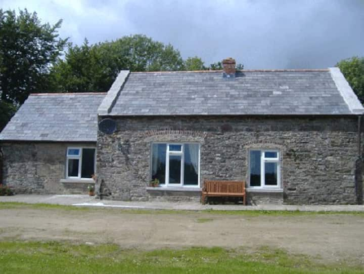 Fulacht fia in CoolnastuddFulacht fia · 698 yd
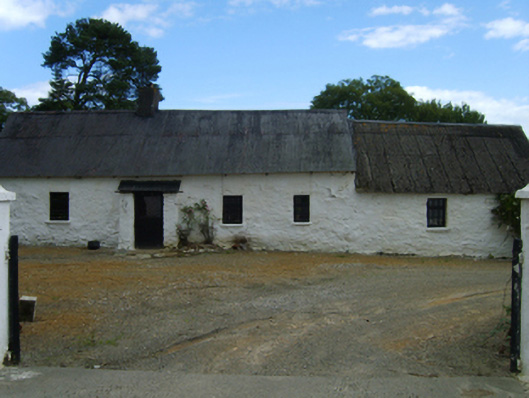 farm housefarm house · 867 yd
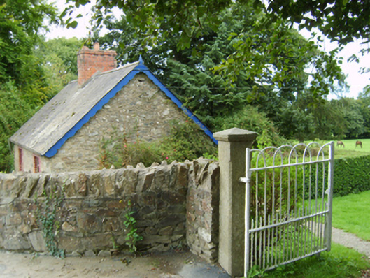 Coolnastudd Housegates/railings/walls · 941 yd
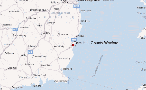 Ballyminaun HillMountain / peak · 1036 yd
 Field system in Moneycross UpperField system · 1519 yd
 Carriganeagh RockMountain / peak · 1.2 mi
 Barnadown WoodWood · 1.5 mi
 1798 MonumentMemorial · 1.8 mi
 Market HouseHeritage attraction · 2.1 mi
 Ballingarry WoodForest · 3.7 mi
 Giants BedNamed rock · 5.5 mi
 Saint Brigid's WellSpring · 5.8 mi
Other information
Photo: Credit not shown in the picture search · Rights wording not checked; contact us if this picture should be removed