What is recorded here
Situated in low-lying, wet pasture, with good views of the surrounding landscape. A stream flows close to N and E. In the centre of ringfort (WM031-074001-) are two roughly rectangular-shaped house sites or one house with two rooms. This building may be the structure depicted on the 1837 ed. OS 6-inch map. A low bank running N-S projects from the bank of the ringfort at S to the SE corner of the central house site.
From the National Monuments Service (Archaeological Survey of Ireland) record WM031-074001
The monument record does not grant public access. Check the route and ask the landowner before entering private land.
- What survives
- Recorded monument
Places near here
Photo credits
- National Inventory of Architectural Heritage
- Mike Searle, Geograph · CC BY-SA 2.0
- Wayne77, Wikimedia Commons · CC BY-SA 3.0
- Maker named on the Wikimedia Commons picture page · CC BY-SA 2.5
- A.-K. D., Wikimedia Commons · CC BY-SA 4.0
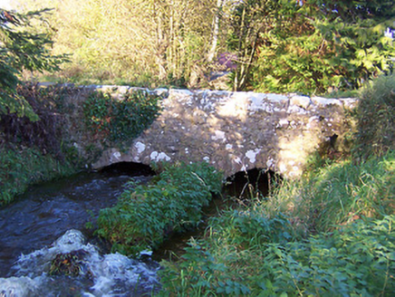 bridge202 yd
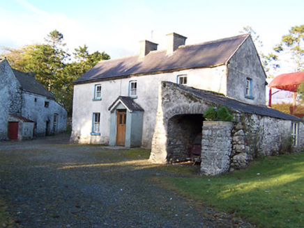 farm house231 yd
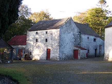 mill (water)240 yd
 Rockfield HouseHouse · 1421 yd
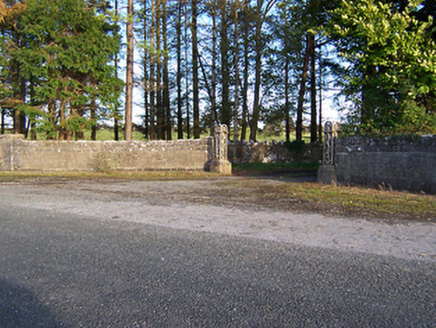 Rockfield HouseDemesne walls/gates/railings · 1735 yd
 Donore BridgeBridge · 1.0 mi
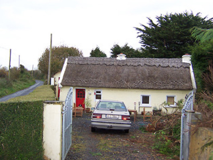 The ThatchHouse · 1.1 mi
 Laragh CastleCastle · 2.6 mi
 Japanese pagoda tree4.3 mi
 Sessile Oak10 mi
 AbbeyHermitage · 12 mi
 St. Managhans WellHoly well · 12 mi
More historic places in County Westmeath · All of County Westmeath
What do you know about this place?