
What is recorded here
On a low knoll which may originally have been a low dry hillock on wet land, on the N-facing slope in undulating poorly drained grassland with good views in all directions. Poorly preserved ringfort consisting of a circular area (int. diam. 35m N-S; 33m E-W ) enclosed by an earthen bank which has been mainly reduced to a scarp (H 0.4-0.9m) with possible entrance gap (Wth 5m) at N. In the centre of the interior there is a low limestone boulder (1m l x 0.4m x 0.4m) protruding above the surface of the ringfort. Interior of ringfort rises in the centre following the natural slopes of the hillock.
Compiled by: Jean Farrelly
Date of upload: 26 August 2011
A local fairy fort (ringfort/rath); wider significance not recorded.
The monument record does not grant public access. Check the route and ask the landowner before entering private land.
- What survives
- Recorded monument
Places near here
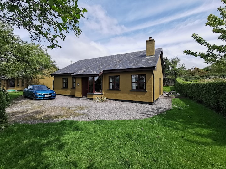 Enclosure in Milltown (clogher Par.)Enclosure · 794 yd
 Milltown CastleCastle · 1419 yd
 Enclosure in MonalumperaEnclosure · 1698 yd
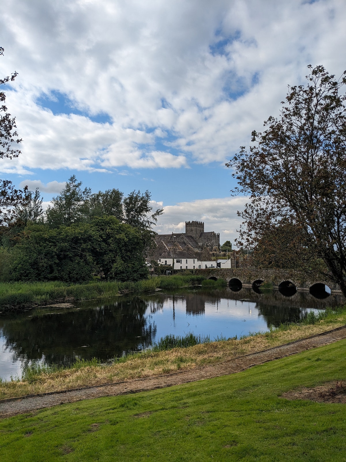 Clonoulty Ho.House, 17th century · 1.2 mi
 Clogher Church (in ruins)Church · 1.2 mi
 Clogher CastleCastle · 1.3 mi
 Clonoulty HillMountain / peak · 1.6 mi
 Drum WoodWood · 3.1 mi
 Killough Hill (site of)Mountain / peak · 3.9 mi
 Wych ElmWych Elm · 4.7 mi
 Cormackstown Heritage CentreMuseum · 4.9 mi
 Soloheadbeg Ambushambush · 11 mi
Other information
Photo: Credit not shown in the picture search · Rights wording not checked; contact us if this picture should be removed