What is recorded here
The ecclesiastical enclosure in Kilmore (Clonoulty parish) is in County Tipperary, Ireland. It occupies a gentle southeast-facing slope below a hilltop and measures 94 metres north-south by 88 metres northeast-southwest. Its earthen bank is mainly reduced to a scarp but is best preserved from southwest through west to north, while a shallow ditch appears only on the upslope. A field boundary crosses the enclosure from southwest to northeast, and the ruined church stands in its western quadrant.
In grassland, on gentle SE-facing slope just below top of hill with good views to S and E only. A roughly circular enclosure ( 94m N-S; 88m NE-SW) defined by an earthen bank (top Wth 2m; base Wth 4m; int. H 0.2m; ext. H 0.3-0.9m) which has been mainly reduced to a scarp but is best preserved on the upslope from SW through W to N. Partial remains of a shallow fosse (Wth 4m; ext. D 0.2m) visible on the uplsope only. No entrance feature visible. Field boundary bisects enclosure on a SW-NE axis as indicated on first edition OS 6-inch map. Church (TS052-004002-) located in W quadrant of enclosure. According to Gwynn and Hadcock this was the location of a monastery known as 'Kill-mor-aradhthire' (Gwynn and Hadcock 1988, 394).
Compiled by: Jean Farrelly
Date of upload: 26 August 2011
The monument record does not grant public access. Check the route and ask the landowner before entering private land.
- What survives
- Recorded monument
Places near here
 Kilmore Church (in Ruins)Church · 29 yd
 IndicatedEnclosure · 643 yd
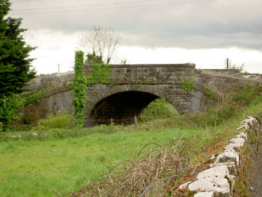 bridgebridge · 1220 yd
 Ballagh CastleCastle · 1521 yd
 Parknamoe FortFairy fort / earthen ringfort · 1.4 mi
 CastleCastle, unclassified · 1.4 mi
 Clonoulty HillMountain / peak · 1.4 mi
 Drum WoodWood · 2.7 mi
 Wych ElmWych Elm · 2.7 mi
 Ring HillMountain / peak · 4.6 mi
 Hore AbbeyHeritage attraction · 5.9 mi
 Rock of CashelHeritage attraction · 6.0 mi