
What is recorded here
In modern tree nursery atop natural rise of ground with good views in all directions. Raised circular area (diam. 40m E-W) enclosed by an earth and stone bank (Wth 2m crest, 5m base; int. H 0.1m; ext. H 0.6-1.5m) reduced to a scarp in places and outer fosse (Wth 3m base; 10m top; ext. D 0.6m) visible from NW through N to NE only elsehwere it has been filled in. No entrance feature visible. Imposssible to examine interior due to dense cover of vegetation. Present road intersects interior of ringfort at E destroying the inner bank from NE through E to SE, as indicated on first edition OS 6-inch map. Modern trackway for nursery runs parallel to the road on the same axis and also bisects interior of ringfort. Interior is being used as place for dumping of waste vegetation and top soil.
Compiled by: Jean Farrelly
Date of upload: 26 August 2011
A local fairy fort (ringfort/rath); wider significance not recorded.
The monument record does not grant public access. Check the route and ask the landowner before entering private land.
- What survives
- Recorded monument
Places near here
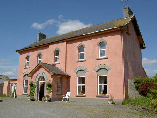 Cappamurracountry house · 284 yd
 Ballagh CastleCastle · 864 yd
 TobernakillaHoly well · 1553 yd
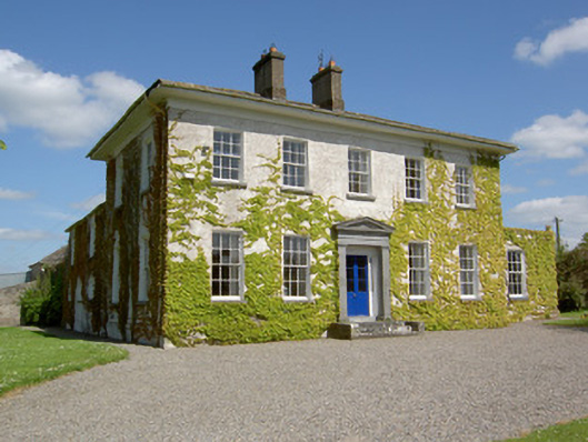 Drummona Houserectory/glebe/vicarage/curate's house · 1666 yd
 IndicatedEnclosure · 1738 yd
 CastleCastle, unclassified · 1.2 mi
 Wych ElmWych Elm · 1.4 mi
 Woodcock GroveWood · 1.7 mi
 Ring HillMountain / peak · 5.0 mi
 LackenacreenaMountain / peak · 5.7 mi
 Hore AbbeyHeritage attraction · 5.7 mi
 Rock of CashelHeritage attraction · 5.8 mi
Other information
Photo: Credit not shown in the picture search · Rights wording not checked; contact us if this picture should be removed