
What is recorded here
On a SE-facing slope in poorly drained grassland with good views in all directions. Impossible to examine monument in detail due to the dense cover of scrub on the enclosure. Depicted on the first ed. OS 6-inch map as a circular enclosure (diam. 37m, with a field boundary running through the northern portion from ESE-NW, within a larger rectangular field. This circular enclosure is not indicated on the subsequent 1903 ed. OS 6-inch map, though the surrounding field boundaries are marked, including the small rectangular field (dims. 30m NE-SW x 60m NW-SE) where most of the monument is located. There is no visible trace at ground level of the circular enclosure depicted on the 1st ed. OS 6-inch map.
Compiled by: Jean Farrelly
Date of revised upload: 16 June 2015
This remains an important historical record, but the official description says the monument is no longer visible or has been destroyed. The monument record does not grant public access. Check the route and ask the landowner before entering private land.
- What survives
- No visible remains or recorded as destroyed
Places near here
 Kilmore Church (in Ruins)Church · 645 yd
 Ballagh CastleCastle · 881 yd
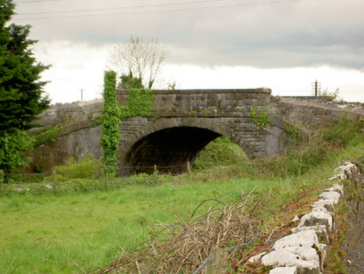 bridgebridge · 1725 yd
 Parknamoe FortFairy fort / earthen ringfort · 1738 yd
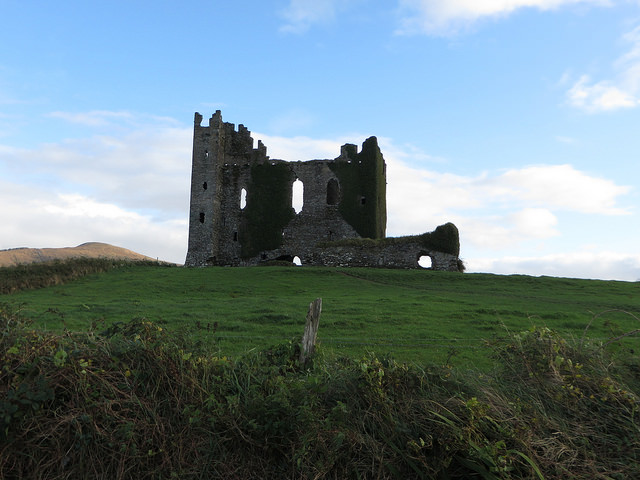 CastleCastle, unclassified · 1.0 mi
 TobernakillaHoly well · 1.2 mi
 Clonoulty HillMountain / peak · 1.8 mi
 Wych ElmWych Elm · 2.3 mi
 Woodcock GroveWood · 2.7 mi
 Ring HillMountain / peak · 4.7 mi
 Hore AbbeyHeritage attraction · 5.8 mi
 Rock of CashelHeritage attraction · 5.9 mi
Other information
Photo: Credit not shown in the picture search · Rights wording not checked; contact us if this picture should be removed