
What is recorded here
From the National Monuments Service (Archaeological Survey of Ireland) record LI047-027
Places near here
Photo credits
- Maker not stated on source page, www.tripadvisor.co.uk
- National Inventory of Architectural Heritage
- john salter, Wikimedia Commons · CC BY-SA 2.0
- Munster GAA Post Primary Schools; individual photographer not named, munster.gaa.ie
- The Speckled Bird, Wikimedia Commons · CC BY-SA 4.0
- Maker not stated on source page, www.goirishtours.com
 Church in MillmountChurch · 37 yd
Explorer Tom Millmount Church in Limerick is called that because someone thought 'mount' was a fancy word for 'bump'. The name…
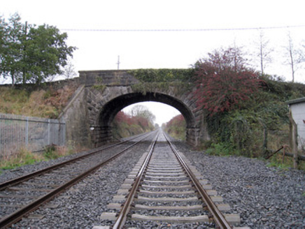 bridge493 yd
Explorer Tom This bridge in Millmount has made its New Year's resolution to stop being so elegant. It was built for the railway line…
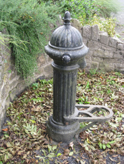 water pump510 yd
Explorer Tom Water pump in Gotoon caused a massive argument back in the day. Everyone wanted to know if the acorn finial was real or…
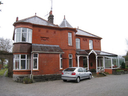 AdrivaleHouse · 520 yd
Explorer Tom Adrivale in Millmount looks like it was nearly sold to a horse trader for a bad deal. It’s got those fancy canted bays…
 Kilmallock Railway StationRailway station · 551 yd
Explorer Tom Kilmallock Railway Station in Gotoon is just standing there, wondering why no one shows up for its tea party anymore.…
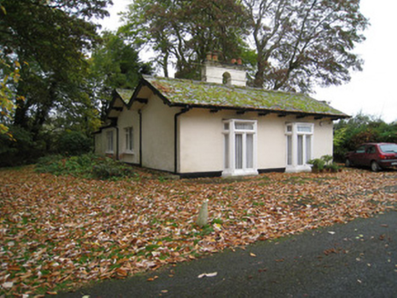 Mount CooteGate lodge · 559 yd
Explorer Tom Mount Coote’s gate lodge in Fairyfield Glebe was built on a bargain where the architect got paid in compliments and a…
 Clonan HouseHouse · 615 yd
Explorer Tom Clonan House in Gotoon has a bay window that looks like it’s peeking out to see if anyone’s watching, all dressed up in…
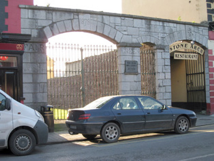 gates/railings/walls1141 yd
Explorer Tom Gates in Gortboy would post '1878: Still standing strong' on social media every single morning without fail. They’re…
 Kilmallock GAA pitchGAA ground · 1189 yd
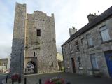 King John's CastleCastle · 1518 yd
Explorer Tom King John's Castle in County Limerick would tell you a secret after a few pints, probably that King John actually built…
 Kings CastleCastle, tower house · 1518 yd
Explorer Tom Kings Castle got its name wrong because map makers were drunk, which is my theory anyway. It’s been Queen, King, and…
 Site of Castle CooteHouse, 17th/18th century · 1632 yd
Explorer Tom Site of Castle Coote is playing hide-and-seek with me. A tale from 1846 says an earl built it, but there was no trace…
More archaeology and monuments in County Limerick · All of County Limerick

What do you know about this place?Tap to add a comment or ask a question