
What is recorded here
Millmount Castle stood in Gotoon beside the River Loobagh, guarding two grist-mills and a tucking-mill until ruin claimed it. The railway now crosses its foundations, embedding the castle inside a modern transit artery rather than erasing it entirely. William Creagh still owned the broken stones and mill seats in 1659, proving that usefulness and decay can share one address.
Westropp (1906/7, 193) recorded the following details about Millmount Castle which is today located in the townland of Gotoon which is adjacent to the townland of Millmount; 'Site marked in Gotoon and Castlefield. The railway now crosses its foundations'. He suggested that this castle may have been the same castle known as Milltown Castle (LI048-077----) for which he gave the following details; 'Not marked, perhaps Millmount. 1583 W. f. Ric. f. Edm. David MacGibbon, alias MacDavid Nynnagh, held the C[astle]. and mill of Milltown near Kilmallock, when slain at Cloghdalton in the rebellion of Sir John of Desmond (Inq. Chan., 49b). 1655 Old ruinous C[astle]. and seats of two grist-mills, and a tucking-mill [LI048-124----] by W. Creagh (C.S., xxv., p. 15)'. The 1659 Civil Survey of Limerick recorded that William Creagh of Miltown an Irish papist was owner of 'an old ruynous Castle, the Seates of two Gristmills, and the seate of a tucking Mill' (Simington 1938, 238). The 1654-6 Down Survey map of Ballingaddy parish shows that there were two townlands called Milltown in this parish and that Millmount was annotated 'Miltowne on this map (NLI, Ms 718). The other townland of Milltown lies adjacent to the SE of the townland of Millmount. No castle or mill sites are depicted on this parish map. In 1840 the Ordnance Survey Nam Books for Ballingaddy parish recorded that 'only the site of thie castle now remains' (OSNB Ballingaddy parish). Faint trace of cropmark of levelled earthwork associated with Millmount Castle visible in field immediately S of the railway line on Digital Globe aerial image taken between 2011-13 and on Google Earth orthoimages. In pasture, with River Loobagh 80m to E. Cross reference with LI048-077----.
Compiled by: Caimin O'Brien
Date of upload: 20 August 2021
The monument record does not grant public access. Check the route and ask the landowner before entering private land.
- What survives
- Recorded monument
Places near here
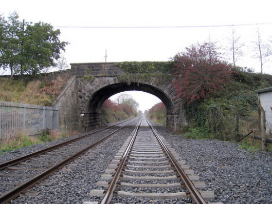 bridgebridge · 284 yd
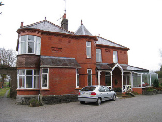 Adrivalehouse · 345 yd
 ToberreendoneyHoly well · 602 yd
 Burial Gd.Burial ground · 782 yd
 Kilmallock AbbeyHeritage attraction · 1345 yd
 King John's CastleCastle · 1381 yd
 Kings CastleCastle, tower house · 1382 yd
 Site of Castle CooteBawn · 1446 yd
 St Bridget's WellSpring · 1.4 mi
 Lady's WellSpring · 3.3 mi
 Ballyhoura tourist informationVisitor information · 4.6 mi
 Caher HillMountain / peak · 4.8 mi
Other information
Photo: Credit not shown in the picture search · Rights wording not checked; contact us if this picture should be removed