What is recorded here
Depicted as a tree-covered enclosure on the OS 1836 and 1876 eds. Raised oval area (int. dims.50.2m N-S; 26m E-W) enclosed by an earthen bank and traces of an outer fosse which has been modified and incorporated into the field drainage system. Break in bank with accompanying causeway at S is probably modern. Known in the locality as a 'Fort'.
From the National Monuments Service (Archaeological Survey of Ireland) record CV030-032
The monument record does not grant public access. Check the route and ask the landowner before entering private land.
- What survives
- Recorded monument
Places near here
Photo credits
- National Inventory of Architectural Heritage
IndicatedEnclosure · 230 ydDruid's AltarArchaeological place · 635 yd St Joseph’s Roman Catholic ChurchChurch/chapel · 1032 ydDrumhawnaghMountain / peak · 1695 ydSallaghan BridgeBridge · 1.2 miOghill Bog WoodWood · 1.6 miPottle WoodlandWood · 1.6 miCarnagh LowerMountain / peak · 1.7 miRed IslandIslet · 2.0 miScrabby IslandIslet · 2.7 miCloone HouseCastle, unclassified · 3.0 miBawn in CastlepolesBawn · 3.5 mi
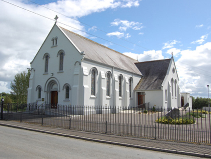 St Joseph’s Roman Catholic ChurchChurch/chapel · 1032 ydDrumhawnaghMountain / peak · 1695 yd
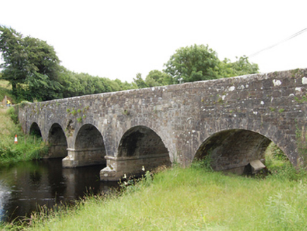 Sallaghan BridgeBridge · 1.2 miOghill Bog WoodWood · 1.6 miPottle WoodlandWood · 1.6 miCarnagh LowerMountain / peak · 1.7 miRed IslandIslet · 2.0 miScrabby IslandIslet · 2.7 miCloone HouseCastle, unclassified · 3.0 miBawn in CastlepolesBawn · 3.5 mi
More archaeology and monuments in County Cavan · All of County Cavan
What do you know about this place?