
What is recorded here
In reclaimed farmland. Classified by McCaffrey (1952, 240, no. 109) as a circular ‘Stone fort’ (diam. c. 45m) defined by a collapsed drystone wall with a stone-lined entrance gap (Wth c. 2m) at SE. There was a possible Man-made underground passage (GA104-200003-) in the N sector of the interior and five ‘enclosures’ abutted the inner face of the cashel wall. McCaffrey (ibid.) suggested that they may have been modern.
Close by to the E, a ‘roadway’ lead to a rectangular house site (L 9.6m; Wth 4.8m). No visible surface trace of the cashel or any of its associated features survives.
Compiled by: Galway Archaeological Survey, UCG
Date of upload: 16 February 2018
The monument record does not grant public access. Check the route and ask the landowner before entering private land.
- What survives
- Recorded monument
Places near here
 Ardnamoran ChurchChurch · 450 yd
 LisheenodayFairy fort / earthen ringfort · 943 yd
 St. Cronans Holy WellHoly well · 963 yd
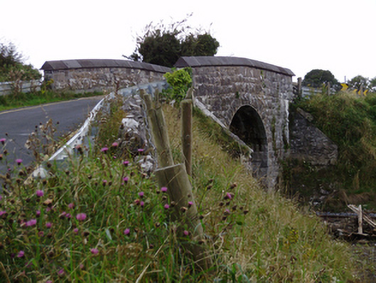 bridgebridge · 1013 yd
 Cloghroak Castle (in ruins)Castle, tower house · 1.3 mi
 CarnanthomasCastle, unclassified · 1.8 mi
 Kilcornan WoodWood · 4.7 mi
 Kilcornan ForestWood · 4.8 mi
 Drumharsna CastleHeritage attraction · 5.1 mi
 MweenisharanIslet · 7.7 mi
 Mulroney's IslandIslet · 8.4 mi
 Mweenish PointHeadland · 8.8 mi
Other information
Photo: Credit not shown in the picture search · Rights wording not checked; contact us if this picture should be removed