What is recorded here
Mannin holds a vanished cashel, a circular stone fort twenty-eight metres across that people forgot or erased. It stood on a south-facing slope where pasture grass still moves in the wind. A collapsed wall marked its edge until a shed and concrete yard covered part of the line. Inside, a house site and an underground passage waited in the earth, now gone without warning. The fort is no longer visible, but its shape remains in the story told about the place.
On a S-facing slope in pastureland. When initially visited by the Survey in May 1983, this poorly preserved circular cashel (diam. 28.6m) was defined by a collapsed drystone wall except from N to ENE where a shed and concrete yard were built on the line of the enclosing element. Traces of a house site (GA104-199002-) lay in the E sector of the interior. McCaffrey (1952, 240-41, no. 110) noted a ‘Man-made underground passage’ (GA104-199001-) and also referred to an oval enclosure, possibly an annexe, which was defined by a ‘wall of mixed earth and stone’ [c. 44m by c. 28.5m ext.]. It extended to the N of the cashel wall. No visible surface trace of these features survived. A revisit in June 1992 revealed that the cashel itself had been subsequently levelled.
Compiled by: Galway Archaeological Survey, UCG
Date of upload: 15 February 2018
The monument record does not grant public access. Check the route and ask the landowner before entering private land.
- What survives
- Recorded monument
Places near here
 IndicatedFairy fort / stone ringfort · 120 yd
 Ardnamoran ChurchChurch · 571 yd
 St. Cronans Holy WellHoly well · 1044 yd
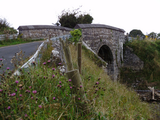 bridgebridge · 1076 yd
 Cloghroak Castle (in ruins)Castle, tower house · 1.2 mi
 CarnanthomasCastle, unclassified · 1.9 mi
 Kilcornan WoodWood · 4.8 mi
 Kilcornan ForestWood · 4.9 mi
 Drumharsna CastleHeritage attraction · 5.1 mi
 Mulroney's IslandIslet · 8.4 mi
 IllananireyIslet · 8.4 mi
 Mweenish PointHeadland · 8.8 mi