What is recorded here
No visible outer bank remains, but the inner ridge still breaks the slope where three rectangular house sites and a hidden underground passage wait beneath the soil. The fort is large enough to hold a whole neighbourhood, yet the outer edge has surrendered to grass and memory. What is left is a chamber of ghosts, a ring of absence where the living once turned their backs to the dark.
On an E-facing slope. Classified by McCaffrey (1952, 237-8, no. 101) as an oval ‘Earthen fort’
(c. 67m N-S; c. 50m E-W ext.) defined by two banks and an intervening fosse. McCaffrey (ibid.) noted three rectangular house sites (GA104-181002-, GA104-181003 and GA104-181004-) in the E half of the interior, an internal division in the SW quadrant and a Man-made underground passage (GA104-181001-) in the NW quadrant. The inner bank is visible except from SSE to S and is best preserved from WSW to NNW where internal stone-facing is evident. All the internal features noted by McCaffrey survive but there is no visible surface trace of the fosse or outer bank. A field system (GA104-188----) surrounds the monument from N through E to S.
Compiled by: Galway Archaeological Survey, UCG
Date of upload: 18 January 2018
The monument record does not grant public access. Check the route and ask the landowner before entering private land.
- What survives
- Recorded monument
Places near here
 IndicatedFairy fort / stone ringfort · 1242 yd
 Ardnamoran ChurchChurch · 1404 yd
 LisheenodayFairy fort / earthen ringfort · 1580 yd
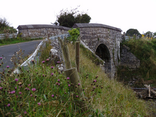 bridgebridge · 1.3 mi
 Cloghroak Castle (in ruins)Castle, tower house · 1.4 mi
 Site of Shanbally CastleCastle, unclassified · 2.1 mi
 Kilcornan ForestWood · 4.2 mi
 Drumharsna CastleHeritage attraction · 4.7 mi
 Loughaun WoodWood · 4.9 mi
 Mulroney's IslandIslet · 7.8 mi
 Mweenish PointHeadland · 8.1 mi
 Mweenish IslandIslet · 8.8 mi