What is recorded here
Manninard holds an oval fairy fort forty-four metres long, buried in low-lying Galway farmland. A field wall cuts through its earthen bank while dense overgrowth swallows the south-western edge, proving that human convenience still chokes ancient boundaries. The rath survives in fair condition despite these injuries, waiting for someone brave enough to walk its hidden circumference before darkness takes the last visible trace.
In low-lying farmland. Oval rath (44m E-W; 35.4m N-S), in fair condition, defined by an earthen bank. A field wall cuts through the monument at NNW and SSE; to its SW the bank is obscured by dense overgrowth. (McCaffrey 1952, 241, no. 105)
Compiled by: Galway Archaeological Survey, UCG
Date of upload: 16 February 2018
The monument record does not grant public access. Check the route and ask the landowner before entering private land.
- What survives
- Recorded monument
Places near here
 IndicatedFairy fort / stone ringfort · 751 yd
 Ardnamoran ChurchChurch · 1037 yd
 LisheenodayFairy fort / earthen ringfort · 1367 yd
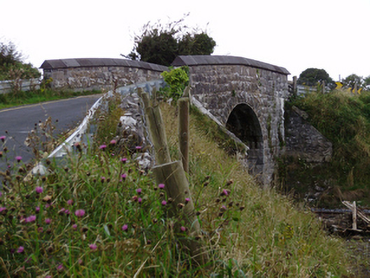 bridgebridge · 1.0 mi
 Cloghroak Castle (in ruins)Castle, tower house · 1.2 mi
 Site of Shanbally CastleCastle, unclassified · 2.3 mi
 Kilcornan ForestWood · 4.5 mi
 Drumharsna CastleHeritage attraction · 4.8 mi
 Loughaun WoodWood · 5.2 mi
 Mulroney's IslandIslet · 8.0 mi
 Mweenish PointHeadland · 8.4 mi
 Mweenish IslandIslet · 9.1 mi