
Places near here
Photo credits
- Kieran Campbell, Geograph · Creative Commons Attribution-ShareAlike 2.0
- National Inventory of Architectural Heritage
- Stephan van Helden, Wikimedia Commons · CC BY-SA 4.0
- Malene Thyssen, Wikimedia Commons · CC BY-SA 3.0
- Kieran Campbell, Geograph · CC BY-SA 2.0
Explorer Tom Cross in Magheross has a family tree so convoluted even its own descendants are confused about who’s who. It’s missing now, but its ghost still judges your posture. Tell it a joke, it's been a long time since anyone did.
 Magheross GraveyardChurch/chapel · 15 yd
Explorer Tom Magheross Graveyard has been in a bitter feud with the rain since the 1600s. The church got burned twice by angry MacMahons, and it still looks slightly damp about it. Have a look and decide if I was lying.
Tober InverHoly well · 123 yd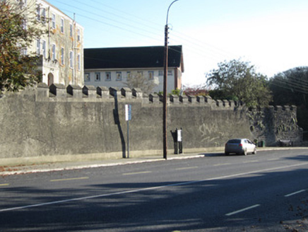 Convent of Saint LouisGates/railings/walls · 230 yd
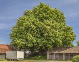 Horse-chestnut1363 yd
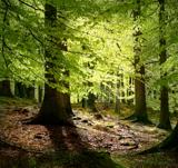 European Beech1387 yd
Explorer Tom This European Beech handles nosy neighbours by dropping exactly one leaf on their heads every morning as a warning. It’s subtle but deadly effective. Tell the next person you meet it's haunted. It might be.
 Mannan CastleArchaeological place · 2.7 miMannan Castle (in ruins)Castle, Anglo-Norman masonry castle · 2.7 miTobernagalliaghSpring · 3.5 miDrumerlough MoreMountain / peak · 4.1 miFlat cemetery in AnnaheanFlat cemetery · 4.3 mi
Explorer Tom Flat cemetery in Annahean is secretly proud of the bronze axe it produced. Ploughs keep finding bones here, which is mildly rude for everyone involved. Visit, then text me what you think. I'll pretend to read it.
BarleyhillMountain / peak · 4.6 miMore archaeology and monuments in County Monaghan · All of County Monaghan

What do you know about this place?Tap to add a comment or ask a question