What is recorded here
At the crest of the E-facing slope of a small drumlin. Subcircular platform (dims 27 E-W; 23.7m N-S) in a mature coniferous forest defined by a scarp (H 0.5m at W to 0.9m at N). There is no visible fosse or entrance. The forest is now cut and the area is excluded from the re-planting (Bing c. 2013).
From the National Monuments Service (Archaeological Survey of Ireland) record RO007-053
Places near here
Photo credits
- Unknown Weaver, English (active c. 1080), Wikimedia Commons · Public domain
- National Inventory of Architectural Heritage
- Suse, Geograph · CC BY-SA 2.0
 Site of ChurchChurch · 189 yd
_-_WGA24165.jpg/250px-Tapestry_by_unknown_weaver_-_The_Bayeux_Tapestry_(detail)_-_WGA24165.jpg "Photo: Unknown Weaver, English (active c. 1080), Wikimedia Commons · Public domain") Battle of Áth an ChipBattle · 726 ydEmbanked enclosureEnclosure · 891 yd
Battle of Áth an ChipBattle · 726 ydEmbanked enclosureEnclosure · 891 yd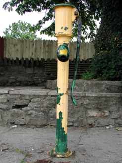 water pump1560 yd
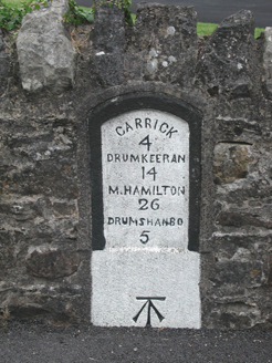 milestone/milepost1578 ydSit of Breifny CastleCastle, tower house · 1662 yd
 Shannon-Erne WaterwayVisitor information · 1683 ydPortCastle, unclassified · 1.1 miInishnagonIsland · 1.2 miLeabaidh DermotCave · 2.8 miDerreenargan WoodWood · 3.0 miSheemore Ambush MemorialMonument · 3.1 mi
More archaeology and monuments in County Roscommon · All of County Roscommon
What do you know about this place?Tap to add a comment or ask a question