
What is recorded here
Depicted as a roofed NE-SW structure described as 'Site of Church' but with no graveyard on the 1837 ed. of the OS 6-inch map, and situated on a gentle SE-facing slope. A Church of Ireland parish church consisting of a rectangular structure (ext. dims 20.2m NE-SW; 9.1m NW-SE) with a sacristy at the N end of the NW wall survives complete but roofless. It has been closed since the 1980s and is within a rectangular graveyard (dims 49m NE-SW; 45m NW-SE) defined by masonry walls, but there is no evidence of an older structure and there are no references to an ancient church in Lustia townland.
Compiled by: Michael Moore
Date of upload: 24 August 2010
The monument record does not grant public access. Check the route and ask the landowner before entering private land.
- What survives
- Recorded monument
Places near here
 IndicatedFairy fort / earthen ringfort · 189 yd
 Battle of Áth an Chipbattle · 555 yd
 Enclosure in DrumhiernyEnclosure · 847 yd
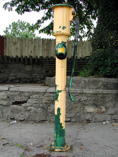 water pumpwater pump · 1379 yd
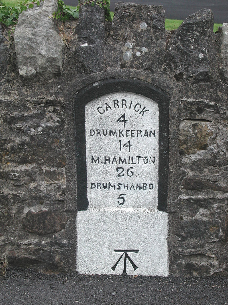 milestone/milepostmilestone/milepost · 1392 yd
 Sit of Breifny CastleCastle, tower house · 1482 yd
 Shannon-Erne WaterwayVisitor information · 1503 yd
 PortCastle, unclassified · 1.1 mi
 InishnagonIsland · 1.2 mi
 Leabaidh DermotCave · 2.7 mi
 Sheemore Ambush MemorialMonument · 3.0 mi
 Derreenargan WoodWood · 3.1 mi
Other information
Photo: Credit not shown in the picture search · Rights wording not checked; contact us if this picture should be removed