What is recorded here
In rough pasture, on the lower NE-facing slopes of Knockbrack Mountain. A linear relict field wall commences just E of a more recent N-S field boundary and extends to the ENE for a distance of 40m and then turns to the SE. At 13m from the NW end of the latter wall a branch extends to NE for a distance of 25m. There is an entrance (Wth 1.1m) along this wall which is defined by two upright stones, one at N (H 0.85m; 0.65m x 0.2m) and one at S (H 0.85m; 0.6m x 0.25m). The wall veers to the N beyond the entrance and continues for a distance of 35m, terminating at a modern E-W field wall. The walls cross an adjacent, meandering stream at a point near the start of the initial wall and towards the end of the final stretch of relict wall. The collapsed stone walls mainly protrude above a thin peat cover but some walls, which are exposed in cutaway bog, are set on underlying clay. A standing stone (KE094-060002-) and two possible fulachtaí fia (KE094-060003-, KE094-060004-) are located within this network of pre-bog field walls.
The above description is derived from the published 'Archaeological Inventory of County Kerry. Volume I: South-West Kerry' (Dublin: Stationery Office, 2009). In certain instances the entries have been revised and updated in the light of recent research.
Date of upload: 30 May 2011
The monument record does not grant public access. Check the route and ask the landowner before entering private land.
- What survives
- Recorded monument
Places near here
 SheepfoldEnclosure · 245 yd
 Sheep FoldEnclosure · 266 yd
 KnockbrackMountain / peak · 1326 yd
 OutlinedKiln, lime · 1.1 mi
 Battle of Callannbattle · 1.2 mi
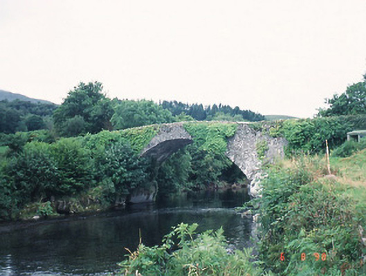 Ardtully Old Bridgebridge · 1.3 mi
 Castle (Site of)Castle, unclassified · 1.3 mi
 European YewEuropean Yew · 1.3 mi
 Kilgarvan Motor MuseumMuseum · 1.3 mi
 Knockbrack South TopMountain / peak · 1.5 mi
 Great Southern & Western RailwayMemorial · 1.8 mi
 Shanagarry Castle (Site of)Castle, unclassified · 3.2 mi