What is recorded here
House in Loughanstown left an outline on the 1923 map and wet pasture where the house should be. It’s the sort of viewing where you ask about the downstairs bathroom and the estate agent gestures broadly at your ankles.
In low-lying level wet pasture with moderate views in all directions, 17m N and 40m W of townland boundary with Rockstown. Enclosure (LI022-242----) lies 48m to the NW. Rockstown Castle (LI022-108----) and church (LI022-109001-) located 257m to NE and 270m to ESE respectively. A substantial house depicted in the townland of 'Ballinloghane' on the Down Survey Barony map of Clanwilliam (Hib. Reg.). The terrier of the Down Survey map of Caheravally Parish recorded that in 1641 Thomas Bourke was the owner of the lands of Ballinloghane on which there 'Standes an House' (NLI, MS 718). The outline of a dwelling is depicted only on the revised 1923 ed. OS 6-inch map and the SMR suggested that this may be the site of the house shown on the Down Survey barony map. No surface remains visible of this structure depicted on the OS 6-inch map. This building is not depicted on the 1840 ed. OS 6-inch map or the 1897 ed. OS 25-inch map and is likely to be the remains of a post-1700 building. However the location of this dwelling matches closely the location indicated on the Down Survey map. See attached Down Survey map of Clanwilliam Barony showing the house in 'Ballinloghhane' (Loughanstown) with Rockstown Castle to E.
In low-lying level wet pasture with moderate views in all directions, 17m N and 40m W of townland boundary with Rockstown. Enclosure (LI022-242----) lies 48m to the NW. Rockstown Castle (LI022-108----) and church (LI022-109001-) located 257m to NE and 270m to ESE respectively. A substantial house depicted in the townland of 'Ballinloghane' on the Down Survey Barony map of Clanwilliam (Hib. Reg.). The terrier of…
From the National Monuments Service (Archaeological Survey of Ireland) record LI022-145
The monument record does not grant public access. Check the route and ask the landowner before entering private land.
- What survives
- Recorded monument
Places near here
Photo credits
- Mike Searle, Wikimedia Commons · CC BY-SA 2.0
- National Inventory of Architectural Heritage
- Mike Searle, Geograph · CC BY-SA 2.0
- Ronnie Nijboer, Wikimedia Commons · CC0
- Ruhrfisch, Wikimedia Commons · CC BY-SA 4.0
- Ballyhoura Failte, Wikimedia Commons · CC BY-SA 2.0
- Willow, Wikimedia Commons · CC BY 2.5
- JohnArmagh, Wikimedia Commons · Public domain
 Rockstown Castle (in ruins)Castle, tower house · 301 yd
 Rockstown ChurchMausoleum · 308 ydGrave YardGraveyard · 312 yd
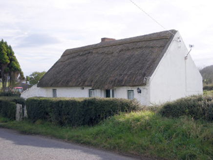 The ThatchHouse · 343 ydSkool HillMountain / peak · 1189 ydBanoge's WellSpring · 1.1 mi
 Ballynagarde HouseCastle, tower house · 1.2 mi
 Wych Elm2.6 mi
 Grange Stone CircleArchaeological place · 3.6 mi
 Giants GraveMegalithic tomb · 4.1 mi
 European ash4.9 mi
 Monasteranenagh AbbeyHeritage attraction · 5.5 mi
More historic places in County Limerick · All of County Limerick
What do you know about this place?