What is recorded here
Located on a local rise in a fairly level landscape. The cropmark of two parallel and slightly curving ditch features placed c. 4m apart (L c. 150m) are visible on digital aerial photographs (WX040-093_1, _2) taken in 2006. The ditches are on the line of a field bank that is marked on the 1839 ed. of the OS 6-inch map that has since been removed.
From the National Monuments Service (Archaeological Survey of Ireland) record WX040-093
The monument record does not grant public access. Check the route and ask the landowner before entering private land.
- What survives
- Recorded monument
Places near here
Photo credits
- National Inventory of Architectural Heritage
- Mike Searle, Geograph · CC BY-SA 2.0
- Richard Webb, Geograph · CC BY-SA 2.0
- Oliver Dixon, Geograph · CC BY-SA 2.0
- Andreas F. Borchert, Wikimedia Commons · CC BY-SA 4.0
 farm house254 yd
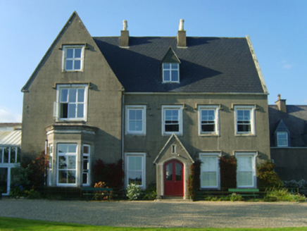 Longgraigue HouseCountry house · 627 ydSt. Edans WellHoly well · 1020 ydCoolcliffe HouseRuins · 1.4 mi
 Black Castle (in ruins)Castle, tower house · 3.0 mi
 IndicatedBawn · 3.1 mi
 Carrickbyrne HillMountain / peak · 4.5 mi
 Windmill6.4 mi
 Blackhall StrandBeach / strand · 6.4 mi
 Cullenstown StrandBeach / strand · 6.5 mi
 Keeragh IslandsIsland · 7.5 mi
 Baginbun HeadHeadland · 9.5 mi
More archaeology and monuments in County Wexford · All of County Wexford
What do you know about this place?