Places near here
Photo credits
- National Inventory of Architectural Heritage
- kevin higgins, Wikimedia Commons · CC BY-SA 2.0
- Chani Anderson / Irish Examiner, www.irishexaminer.com
- Jonathan Thacker, Geograph · Creative Commons Attribution-ShareAlike 2.0
 Lombardstown HouseCountry house · 375 yd
Explorer Tom Lombardstown House is a brick puzzle with phases dating back to 1720 and then a major remodel by 1740. It looks like…
 Lombardstown BridgeBridge · 764 yd
Explorer Tom Lombardstown Bridge is standing over a tributary looking all stone-faced and elegant. Built around 1855, it’s got five…
 St Abigails WellHoly well · 1.2 mi
Explorer Tom St Abigails Well is showing off its cup niches like they’re high-end shelf space for holy biscuits. The potato in there…
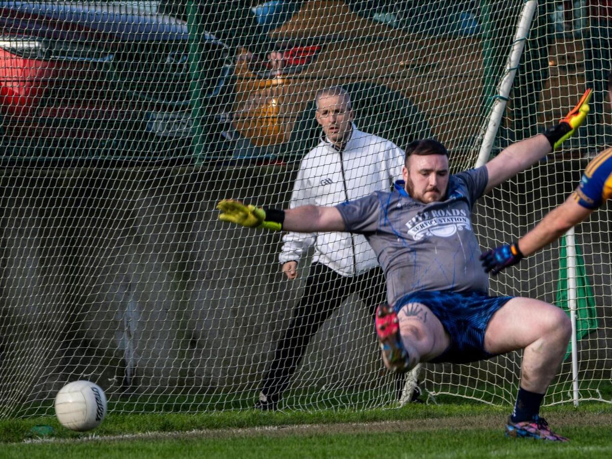 Kilshannig GAA pitchGAA ground · 1.6 mi
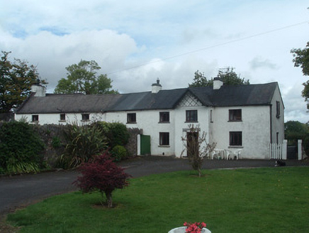 Gortmore HouseCountry house · 2.1 mi
Explorer Tom Gortmore House is elongated because someone couldn't make up their mind about width. It's got yards of outbuildings…
 Roskeen HouseCountry house · 2.2 mi
Explorer Tom Roskeen House in Roskeen has its entrance in an end wall, which is unusual and slightly rude to your navigation skills.…
 kiln4.4 mi
Explorer Tom Kiln in Dromcummer More is set into the hillside, probably hiding from the damp. It used to bake lime, now it bakes…
 Saint Fursey's ChurchChurch/chapel · 4.9 mi
Explorer Tom Saint Fursey's Church in Banteer had a fiddler who played there all night and never stopped until the sun came up. The…
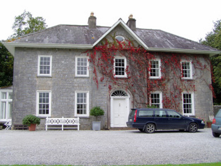 Glenlohane HouseHouse · 5.2 mi
Explorer Tom Glenlohane House in Glenlohane, County Cork was built by John Sharpe in 1741 and has a door that looks like it cost…
 Springville HouseFarmyard complex · 5.9 mi
Explorer Tom Springville House farmyard in County Cork has a bellcote on the north range. The lunette window up there looks…
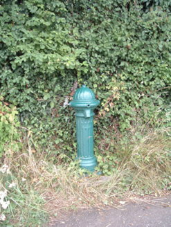 water pump15 mi
Explorer Tom Water pump in Mullaghroe North has been standing there since the 1880s, looking very Victorian about it. It’s a…
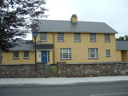 Knocknagree Garda StationGarda station/constabulary barracks · 18 mi
Explorer Tom 17. Knocknagree Garda Station looks like a fancy country house because it was built in the Domestic Revival style…
More archaeology and monuments in County Cork · All of County Cork

What do you know about this place?Tap to add a comment or ask a question